Catalog Archive
Auction 125, Lot 519

"Tab. III. Europae, Galliam, Belgicam, ac Germaniae, Partem Representans", Ptolemy/Mercator

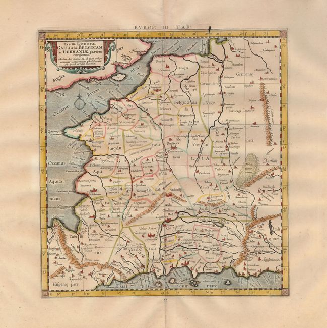
Subject: Low Countries

Period: 1730 (published)

Publication: Claudii Ptolemaei's Atlas Tabulae geographicae Orbis Terrarum

Color: Hand Color

Size:
12.4 x 13.3 inches
31.5 x 33.8 cm
Download High Resolution Image
(or just click on image to launch the Zoom viewer)

A handsome Ptolemaic map of France and Belgium, showing a partial coastline of England. Mercator originally published this map in his 1578 edition of Ptolemy's great Geography. Although he is most renowned today for the projection he popularized and for first using the term Atlas for a collection of maps, he devoted much of his life to his Ptolemaic maps. The maps were beautifully engraved as nearly as possible to their original form and embellished with fine cartouches. This map is from a 1730 edition.

References: Mickwitz & Miekkavaara, (Nordenskiold-2) #235-21.

Condition: A

A crisp example on fine laid paper with wide margins. The upper border shows evidence of a crack in the plate with some excess ink.

Estimate: $250 - $300

Sold for: $100

Closed on 9/24/2008

Archived