Subject: England and Scotland
Period: 1777-96 (published)
Publication:
Color: Hand Color
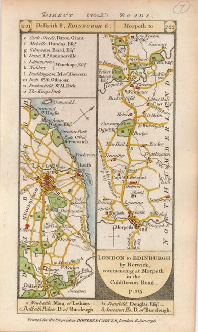
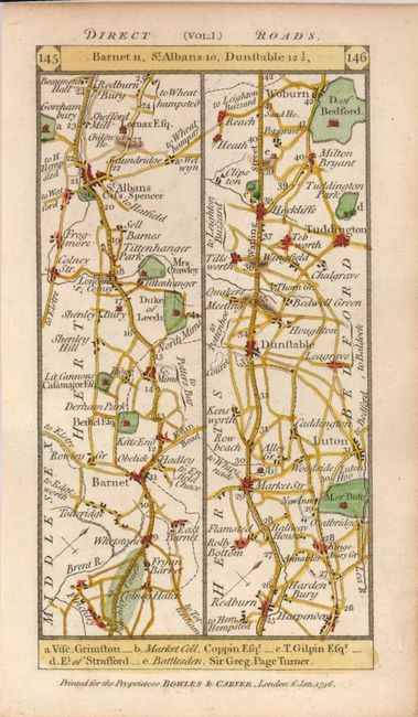
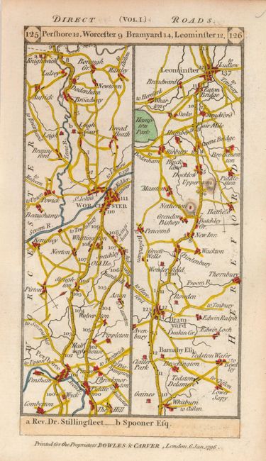
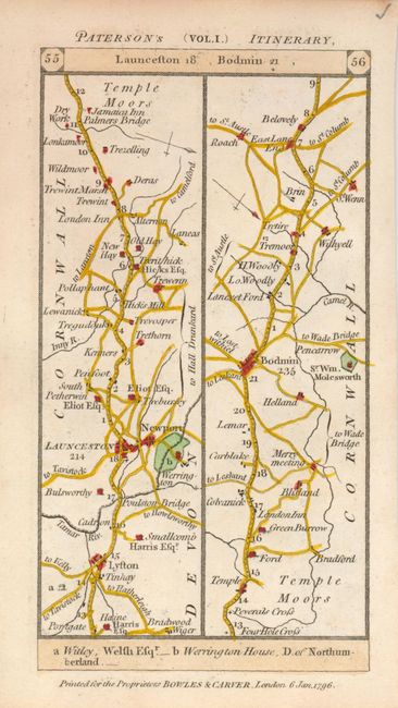
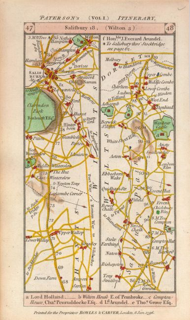
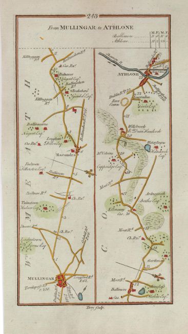
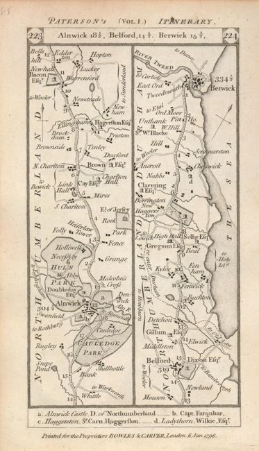
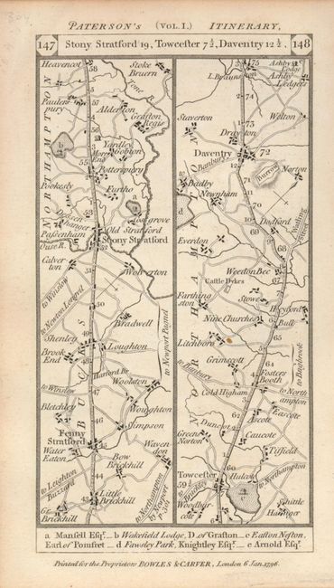
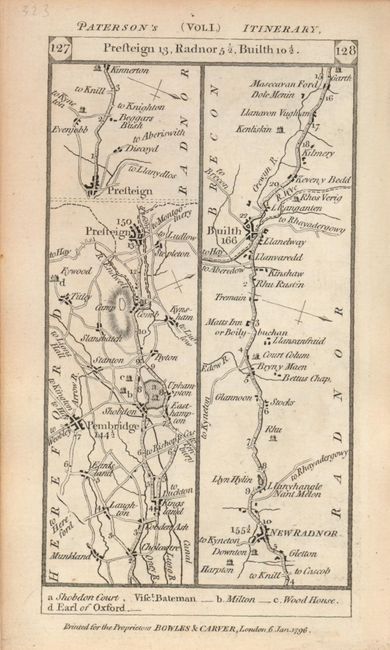
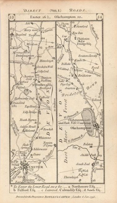
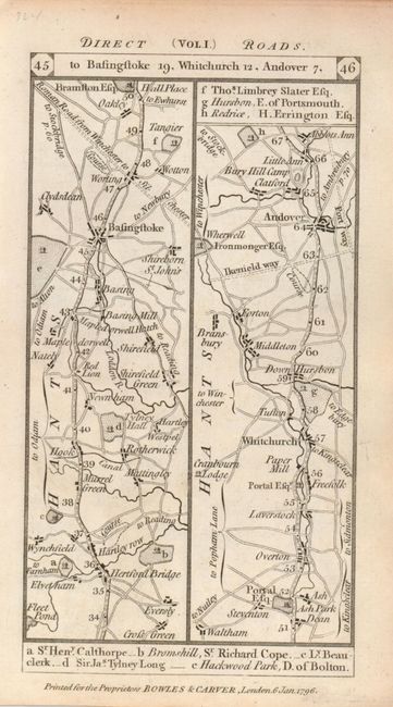
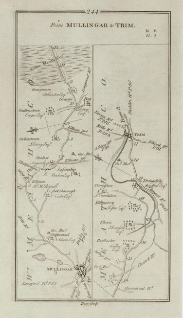
The tradition of strip-style British road maps began with John Ogilby's Britannia in 1675. In the early part of the 18th century the style and data were copied in a reduced format by several mapmakers in response to public demand for a more portable version. This group of maps includes five maps of England and Scotland from "Paterson's Itinerary" (Vol. 1) published by Bowles & Carver, 1796, (3.4 x 6.4") together with From Mulligar to Athlone (4.5 x 8.3") published in Taylor and Skinner's Maps of the Roads of Ireland in 1777. Each sheet has maps on both sides, one colored with the verso uncolored.
References:
Condition: A