Catalog Archive
Auction 125, Lot 446

"Tabula Europae I", Ruscelli, Girolamo
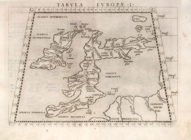
Subject: Britain

Period: 1564 (published)

Publication: La Geografia di Claudia Tolomeo

Color: Black & White

Size:
9.8 x 7 inches
24.9 x 17.8 cm
Download High Resolution Image
(or just click on image to launch the Zoom viewer)

This classic map is from the Ptolemaic section of the Geografia. The information portrayed on the map was compiled by Ptolemy principally from voyager's reports in the era of 100-150 A.D. Thus the islands are distorted by the characteristic east-west orientation of Scotland. The seas are stipple engraved in the Italian style. First state of the plate. Latin text on verso.

References: Shirley (MCC-94) #67.

Condition: A

Minor soil in margins.

Estimate: $350 - $425

Sold for: $375

Closed on 9/24/2008

Archived