Catalog Archive
Auction 125, Lot 443

"Carte Generale et Politique de l'Europe", Tardieu, Pierre Francois
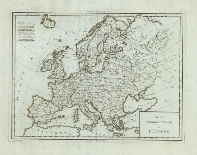
Subject: Europe

Period: 1805 (circa)

Publication:

Color: Black & White

Size:
16.8 x 12.5 inches
42.7 x 31.8 cm
Download High Resolution Image
(or just click on image to launch the Zoom viewer)

An attractive map of Europe extending from Iceland to the Black Sea and the northern tip of Africa. It is filled with place names, and there are six scales of miles located in the upper left corner. Drawn by Pasquier Jean Valet and engraved by P. F. Tardieu.

References:

Condition: B+

A dark impression on a sturdy sheet of French blue paper with faded original outline color. There is some faint foxing, mostly confined to the margins.

Estimate: $150 - $200

Unsold

Closed on 9/24/2008

Archived