Catalog Archive
Auction 125, Lot 425

"Insulae Acores delineante Ludovico Teisera", Blaeu, Johannes
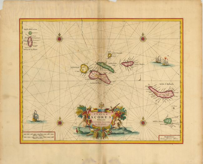
Subject: Azores

Period: 1660 (circa)

Publication:

Color: Hand Color

Size:
19.5 x 15 inches
49.5 x 38.1 cm
Download High Resolution Image
(or just click on image to launch the Zoom viewer)

This fine map of the strategically important Azores Islands was drawn by Luis Teixeira, the Portuguese Jesuit who was cartographer to the Spanish crown. The map is beautifully adorned with several sailing ships and compass roses and the central title cartouche features creatures of the sea. This is from a later edition with two cracks from the plate visible in the printing.

References:

Condition: B

The centerfold is toned and reinforced on verso. The paper edges are chipped, well away from the map.

Estimate: $450 - $550

Sold for: $325

Closed on 9/24/2008

Archived