Catalog Archive
Auction 125, Lot 376

"[Lot of 2] Carte des Isles Antilles ou du Vent avec la Partie Orientale des Isles sous le Vent [and] Les Petites Antilles ou les Isles du Vent, avec Celles de Sous le Vent", Bonne, Rigobert

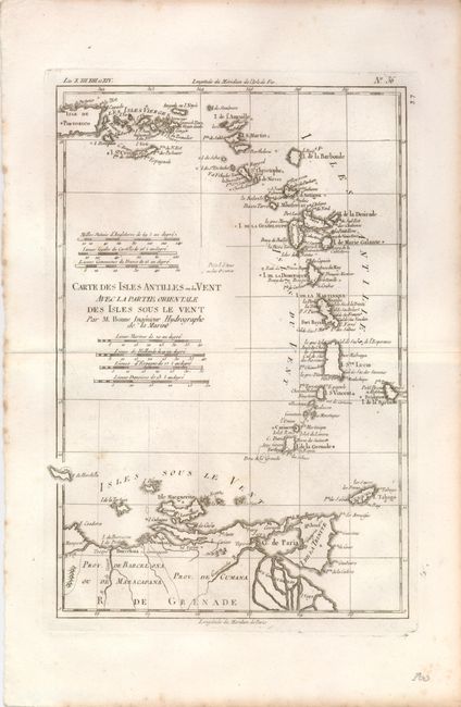
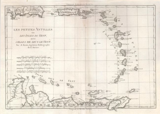
Subject: Lesser Antilles

Period: 1780-1788 (circa)

Publication:

Color: Black & White

Size:
See Description
Download High Resolution Image
(or just click on image to launch the Zoom viewer)

Nice pair of copper engraved maps illustrating the Lesser Antilles. Both have good impressions on thick hand laid paper.

The first is from Atlas de Toutes les Parties Connues du Globe Terrestre, 1780, (8.3 x 12.3). The chart details the Windward Islands and the eastern Leeward Islands to include about half of Puerto Rico. Seven distance scales. A few light spots in map, more in the margins, and browning at edges. (B+).
The second was published in Atlas Encyclopedique circa 1787-1788. The map (13.5 x 9") depicts most of the Lesser Antilles, including the Windward and Leeward Islands, and the northern shore of South America. Centerfold repaired on verso with a few spots in the area. (B+)

References:

Condition: B+

See individual descriptions above.

Estimate: $160 - $200

Sold for: $120

Closed on 9/24/2008

Archived