Catalog Archive
Auction 125, Lot 348

"Carte Reduite du Golphe du Mexique et des Isles de l'Amerique…", Bellin, Jacques Nicolas

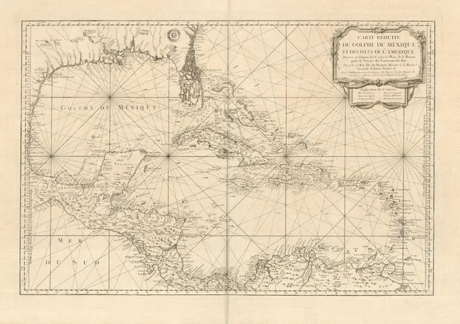
Subject: Gulf of Mexico and Caribbean

Period: 1760 (circa)

Publication:

Color: Black & White

Size:
31.5 x 20.8 inches
80 x 52.8 cm
Download High Resolution Image
(or just click on image to launch the Zoom viewer)

This large, impressive chart of the Gulf of Mexico and the Caribbean shows the Florida Peninsula as a maze of islands. The map was clearly meant to facilitate sailing, with loxodromic lines, the locations of safe anchorages, navigational hazards and the directions of major currents. A lovely cartouche fills the upper right, with the color key underneath, however this issue is uncolored. Second state, as noted in the cartouche with the last part of the date excised. But this uncommon issue is without the seal of the Depot de la Marine, so it was likely separately issued.

References: cf Tooley (MCC-96) #747.

Condition: A+

Clean and bright on a sturdy sheet of wide margined paper.

Estimate: $1,700 - $2,000

Sold for: $1,600

Closed on 9/24/2008

Archived