Subject: Massachusetts, Boston
Period: 1920 (circa)
Publication:
Color: Printed Color
Size:
19 x 15 inches
48.3 x 38.1 cm
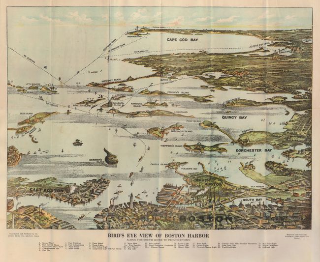
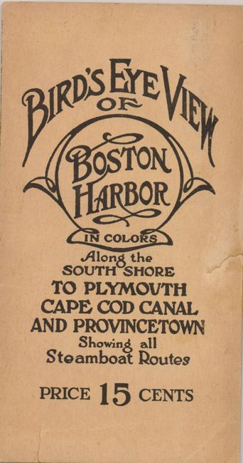
Nice bird's-eye pocket map produced for the tourist trade. The attractively colored map folds into paper covers with the title "Bird's Eye View of Boston Harbor in Colors Along the South Shore to Provincetown." Below the map is a numerical key to 25 landmarks and lighthouses. The map names East Boston, Dorchester Bay, Quincy Bay, Governor's Island, Peddock's Island, Deer Island, Nantasket Beach, Duxbury, Jerusalem and much more. Numerous ferry and ship routes are shown. The map was printed by either the collotype or color gravure method by the Federal Engraving Co., Boston. Copyright and published by the Union News Company of Boston. This edition is priced 15 cents on the cover.
References:
Condition: A
Lovely, bright coloring. A couple of faint spots in blank area of ocean otherwise fine. Cover with archival tape along split fold and two short edge tears in front cover.