Subject: Los Angeles, California
Period: 1919 (dated)
Publication:
Color: Printed Color
Size:
30 x 43.5 inches
76.2 x 110.5 cm
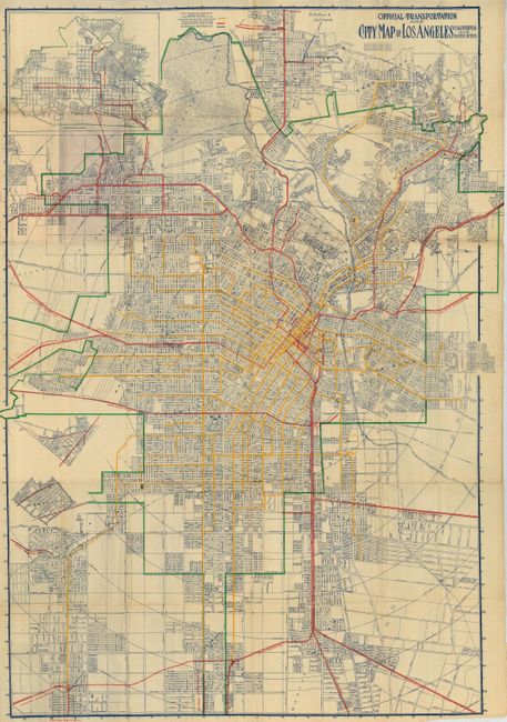
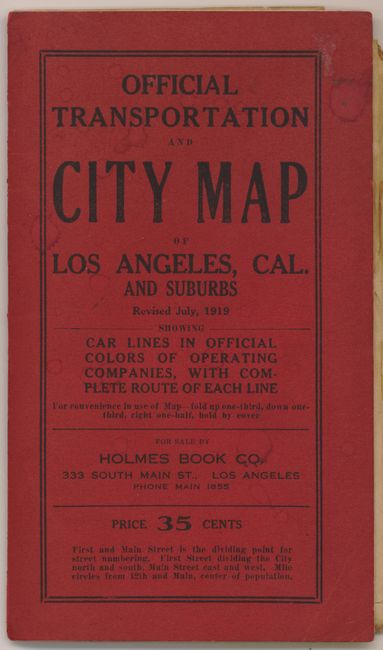
This large-scale map pocket map shows the extensive rail lines in operation at the time. Legend uses color to distinguish the lines of Los Angeles City, the Pacific Electric Railway, and the Glendale & Montrose Railway. The branch lines are also located and named: Whittier, Fullerton and La Habra; South Pasadena; So. Hollywood and Santa Monica Blvd; Laurel Canyon; the multi-track Pasadena Short Line, to mention a few. The map extends from La Ramada and Griffith Park in the north, south to Vermont Heights and Strawberry Avenue, west to Laurel Canyon and east to the New Calvary Cemetery on the Whittier Road. Locates Ascot Park. Griffith Park shows no development. Folds into printed red covers (5" x 8") with street index. On inside covers is a listing of all stations and stops for the Los Angeles Railway Company. Full page advertisement for the Pacific Electric Railway on back cover also lists all lines and stops while promising "Comfort, Speed, Safety and Elegance." An uncommon issue that is revised to July, 1919.
References:
Condition: B+
Map is very good less some fold intersection splits, common for a large folding map. Front cover with a few water spots, otherwise fine.