Subject: Western United States
Period: 1873-90 (circa)
Publication:
Color:
A great lot of western states maps from the latter part of the 19th century when the growth in commercial cartography resulted in a great many fine American atlases.
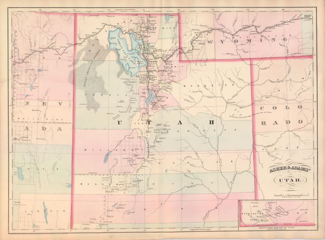
1) Asher & Adams' Utah, from the New Statistical and Topographical Atlas, 1873, hand color, (22.5 x 16.3"), A.
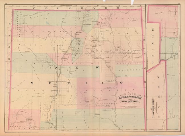
2) Asher & Adams' New Mexico, from the New Statistical and Topographical Atlas, 1874, hand color, (22.5 x 16.3"). B - Chip in upper border.
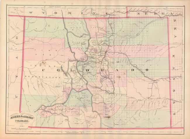
3) Asher & Adams' Colorado, from the New Statistical and Topographical Atlas, 1875, hand color, (22.5 x 16.3"). The Gold, Silver, Copper and Lead Mineral Belt is prominently marked across the map. B+ - There are a couple minor spots in map.
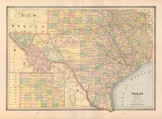
4) Texas, George F. Cram, Chicago, c. 1883 (17 x 11.8") Indian Ty. and Arkansas on verso, printed color, (12 x 9.6"). A+
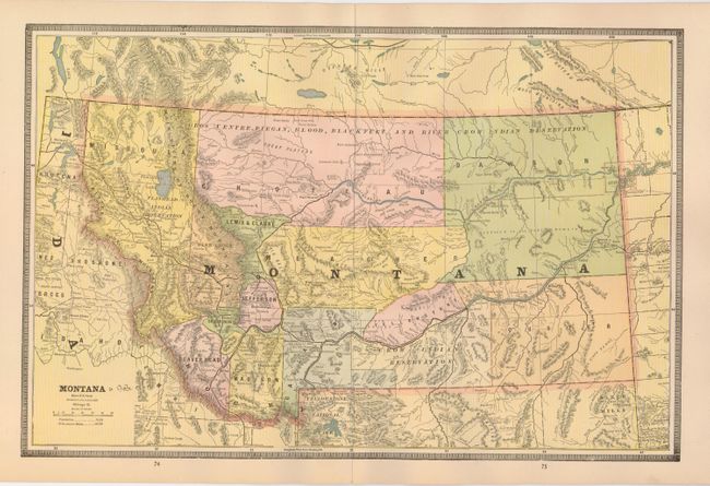
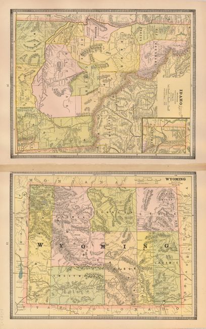
5) Montana, George F. Cram, Chicago, c. 1883 (17 x 11.8") Wyoming and Idaho on verso, printed color, (12 x 9.6"). A - Minor chip at paper edge.
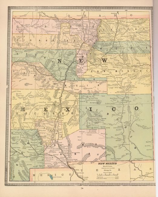
6) Colorado, George F. Cram, Chicago, c. 1883 (12 x 9.6") New Mexico on verso, printed color. B+ - NM trimmed into border.
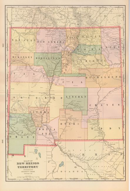
7) Map of New Mexico Territory, George F. Cram, Chicago, c. 1890, printed color, (13.5 x 19.5") A+.
References:
Condition:
See descriptions.