Subject: Mississippi River
Period: 1895 (published)
Publication: HR Doc. 159, 54th Congress, 2nd Session
Color: Printed Color
Size:
55 x 20 inches
139.7 x 50.8 cm
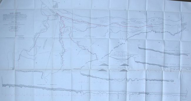
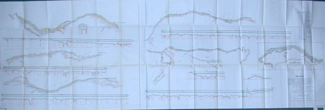
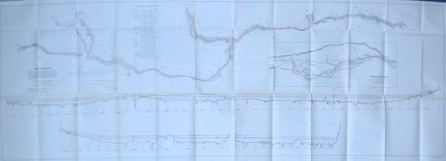
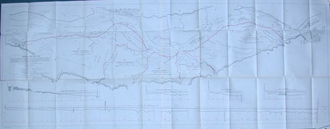
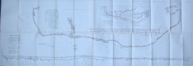
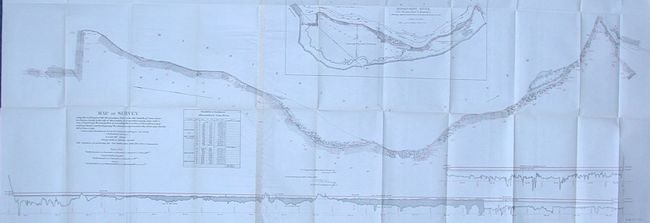
Six maps showing detailed surveys of the banks of the Mississippi River. Each is highly detailed, nicely colored and roughly 20" x 55" or larger. Each title begins with "Map of Survey". The first is "on the West Side of the Mississippi River from the Hunt Creek in Des Moines County, Iowa to the Mouth of the Iowa River…" With a large inset "Map of Mississippi River from Flat Creek to Iowa River." It is a remarkable map for its size, amount of detail clarity and attractiveness. It notes, in red overprinting, the locations of proposed levees, plus much more. New Boston, Illinois, Burlington, and Oquawka are located. The other maps from this set are:
2) "…beginning at the Egyptian Levee…" Shows part of street grid of Alexandria, Warsaw and Canton.
3) "…from mouth of Iowa River in Louisa County to the city of Muscaline…"
4) "…along the east bank of the Mississippi River, from at or near the city of Oquawka, Illinois to at or near Dallas City…" Large inset gives overview of the region covered.
5) "…La Grange in the county of Lewis...to the city of Hannibal…" Shows street plans for Hannibal, La Grange and Quincy.
6) "…Drury's Landing, in Rock Island county, state of Illinois…to New Boston…" With large inset giving overview of region.
References:
Condition: A
Most are fine. Two are very good with one or two short, clean splits.