Catalog Archive
Auction 125, Lot 108

"Amerique Septentrionale, en 1840", Houze, Antoine Philippe

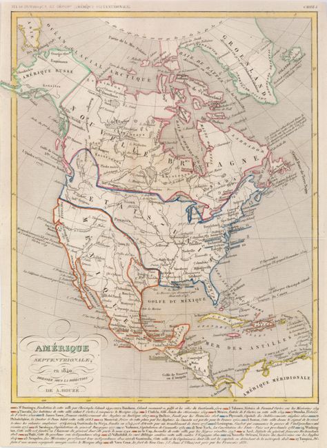
Subject: North America

Period: 1840 (dated)

Publication: Atlas Historique et Geographique

Color: Hand Color

Size:
8.5 x 10.7 inches
21.6 x 27.2 cm
Download High Resolution Image
(or just click on image to launch the Zoom viewer)

This great little map provides a view of North America in 1840. The border between the United States and Canada reflects the U.S. interests into present-day British Columbia, extending to about 55° North latitude. Alaska is Amerique Russe, and Texas is an independent republic. Mexico controls the bulk of the West. Below is a short history of 28 regions and cities that are keyed to the map via color-coding and numbering.

References:

Condition: A

Original outline color. Issued folding, now flattened with repair on a short binding tear, not affecting map.

Estimate: $150 - $200

Sold for: $120

Closed on 9/24/2008

Archived