Catalog Archive
Auction 124, Lot 471

"Accuratissima Galliae Tabula Vulgo Royaume de France", Wit, Frederick de
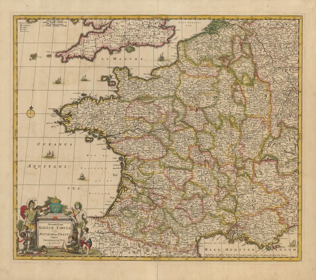
Subject: France

Period: 1680 (circa)

Publication:

Color: Hand Color

Size:
22.5 x 19 inches
57.2 x 48.3 cm
Download High Resolution Image
(or just click on image to launch the Zoom viewer)

This decorative map of France extends to include Belgium and Luxembourg with portions of Switzerland, Germany and England. It is filled with finely engraved detail of the towns and topography. The cartouche is flanked by Bacchus and a Roman soldier with cherubs in the foreground.

References:

Condition: B+

Lovely original color and a dark impression. The lower centerfold is repaired on the verso with tissue, and there is a small stain just south of Isle de France.

Estimate: $300 - $400

Sold for: $220

Closed on 5/7/2008

Archived