Subject: Atlases
Period: 1891 (dated)
Publication:
Color: Printed Color
Size:
12 x 15 inches
30.5 x 38.1 cm
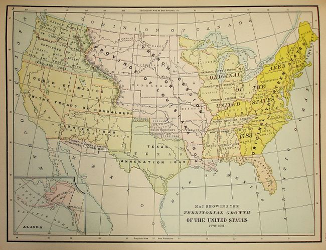
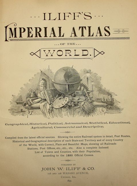
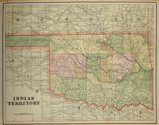
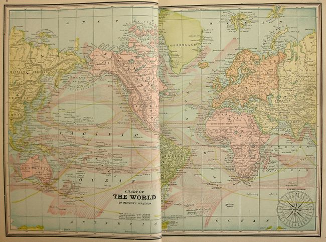
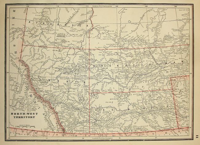
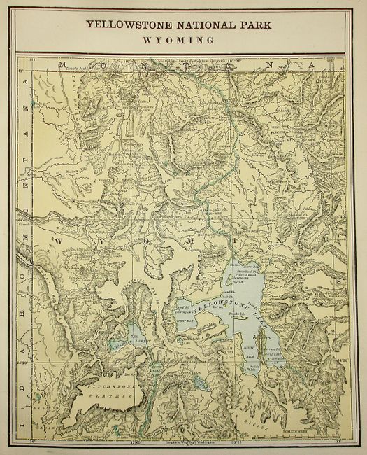
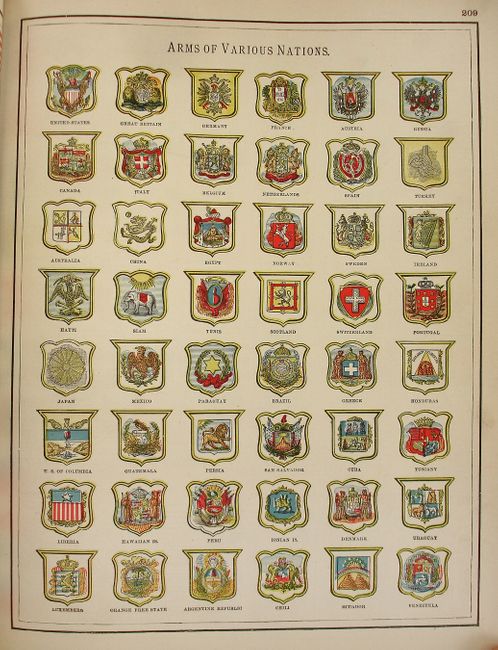
This is the eleventh census edition of this attractive, complete atlas that contains 128 cerographic maps, of which 21 are double-page. The atlas features numerous diagrams, tables, wood engraved vignettes, and an exhaustive 89-page index. The maps were originally produced by George Cram, and feature the entire railroad system and postal routes of the United States in good detail. Roads, counties, provinces, topography, Indian reservations and many other details are shown. An index of towns and counties lists the population according to the census of 1890. An engraved vignette on the title page shows a large globe surrounded by items representing industry, agriculture, transportation, history and the arts. Rebound in red cloth-covered boards with original embossed titling on front and back and marbled endpapers. The recently restored spine and tips have pebble cloth material with gilt titling on black bands. Folio with 314 pages.
References:
Condition: A
Maps are good to very good, a couple are dog-eared and a short edge separation on one map does not affect the image. Some rear pages are a bit age toned. Covers have very minor shelf wear.