Subject: Atlases
Period: 1889 (dated)
Publication:
Color: Printed Color
Size:
11.8 x 14.8 inches
30 x 37.6 cm
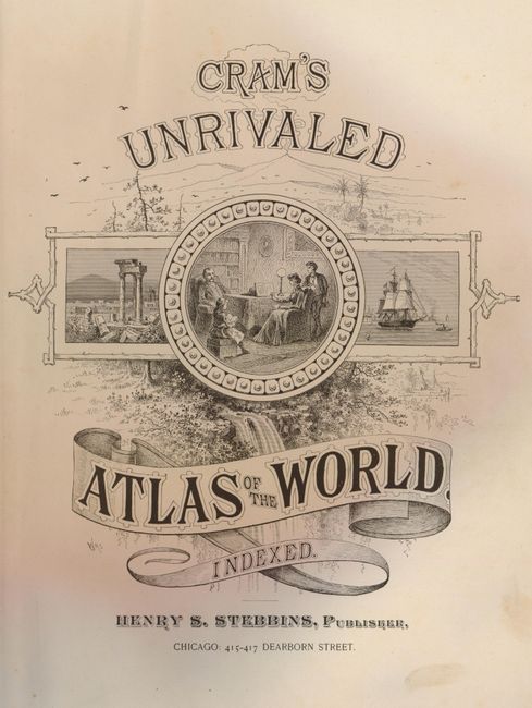
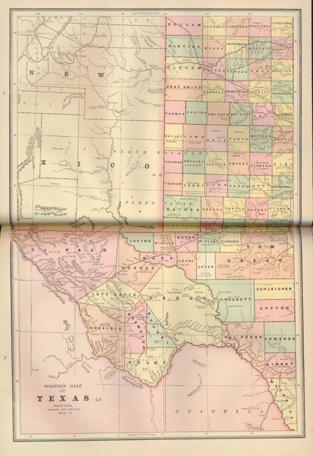
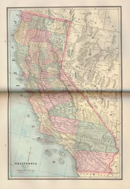
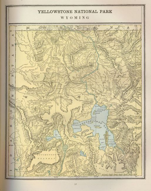
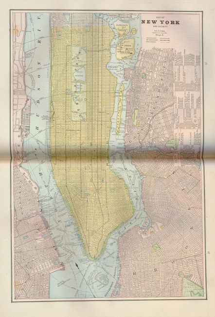
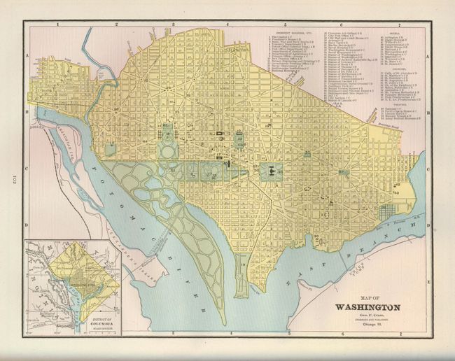
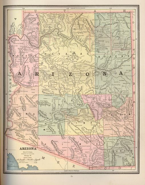
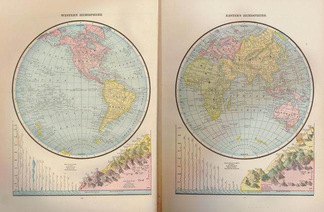
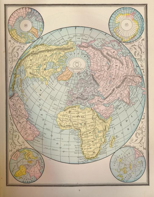
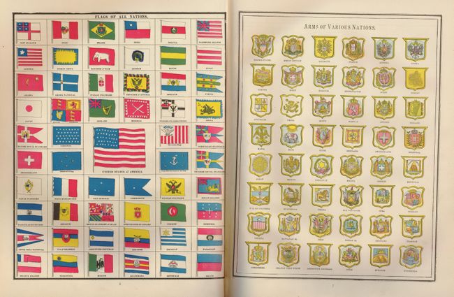
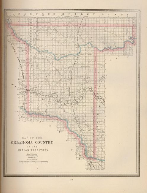
This is a complete and very nice later 19th century atlas with 77 single-page, and 17 double-page maps covering all the U.S. states and major cities, Canadian provinces and countries throughout the world. Most of the maps are printed on both sides of the sheet, and all double-page maps are printed on one sheet that is attached to the atlas with a backstrap. There are numerous diagrams, historical charts and city plans. The historical section on the United States includes additional thematic maps. This edition contains the uncommon Map of Oklahoma Country in the Indian Territory that shows railroads, ranches, cattle trails and more. Also in this atlas is a map of Yellowstone National Park Wyoming showing mainly topography. 270 pages. Complete. Small folio. Hardbound in original brown cloth with embossed, gilt title on front.
References:
Condition: A
Maps are generally fine with minimal light soil. Binding is tight with front cover just starting to separate from hinge. Boards have minor shelf wear with a bit of loss at the ends of the spine.