Subject: Atlases
Period: 1825 (circa)
Publication:
Color: Hand Color
Size:
6 x 9 inches
15.2 x 22.9 cm
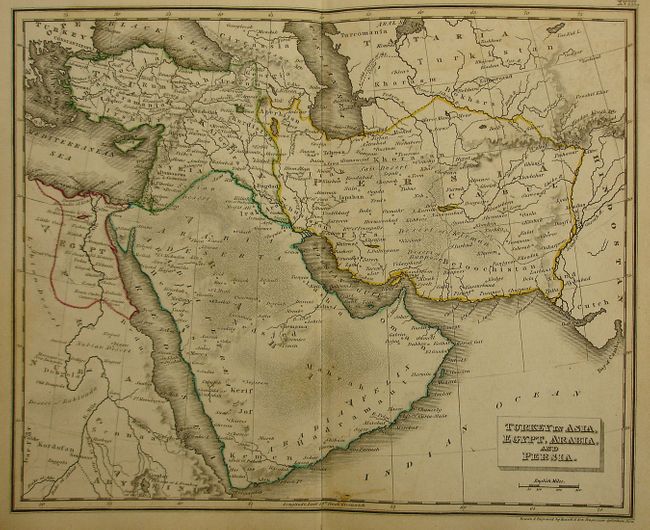
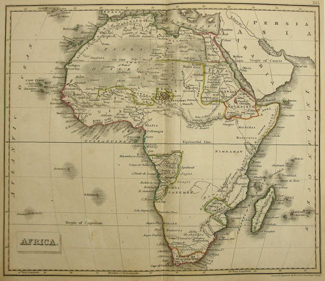
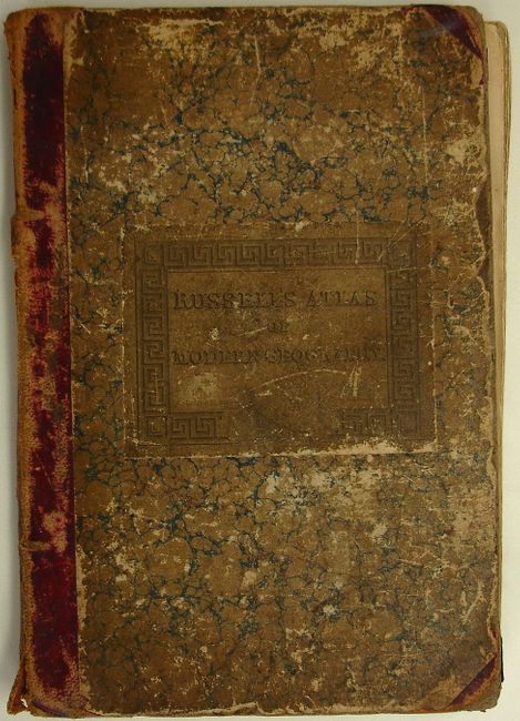
This attractive and nicely detailed, complete atlas contains 25 double-page, copper engraved maps all of which have attractive outline coloring. The atlas includes a nice map of the United States showing the western boundary of the country to the states of Louisiana, Missouri and a large Arkansas Territory. The Northwest Territory encompasses present-day Wisconsin, much of Minnesota, and extends well into central Canada. The map of North America shows the boundary between Canada and the United States without the usual pro-British incursion into Oregon Territory, which is very unusual for a British publication of this period. The finely engraved plates were produced by Russell & Sons, Penge, Surrey, and printed for Baldwin & Craddock, in London. A thorough, 44 page index is accompanied by four additional pages of advertisements for other publications in the back of the atlas. 8vo. Hardbound in original marbled paper covered boards with red leather spine and tips.
References:
Condition: B
Maps have minor offsetting and occasional foxing. Several have short fold separations, but are still good to very good with crisp impressions. Most of the contents are disbound. Covers well worn with some loss to corners and edges. Spine is cracked and worn.