Catalog Archive
Auction 123, Lot 739

"Nouvelle Carte de l'Isle de Java…", Bellin/Van Schley

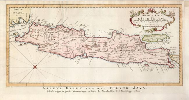
Subject: East Indies - Indonesia, Java

Period: 1770 (circa)

Publication:

Color: Hand Color

Size:
17.3 x 8 inches
43.9 x 20.3 cm
Download High Resolution Image
(or just click on image to launch the Zoom viewer)

Attractive chart of the island depicting soundings around the coast, all principal harbors, rivers and elevations, bays and points, settlements and provinces. Included are Madura, Bali, Sunda Strait and the southeastern tip of Sumatra. The island is divided into provinces and the kingdoms of Bantam, Tsieribon and Jacatra. A nice compass rose and decorative title cartouche complete the map. Titled in Dutch below the map.

References:

Condition: A

A nice impression with folds as issued, and paper added to the upper right binding side to facilitate framing.

Estimate: $200 - $275

Unsold

Closed on 2/20/2008

Archived