Subject: Central Europe
Period: 1780-90 (circa)
Publication:
Color: Hand Color
An attractive group of maps, four from Franz von Reilly, the last from Thos. Conder.
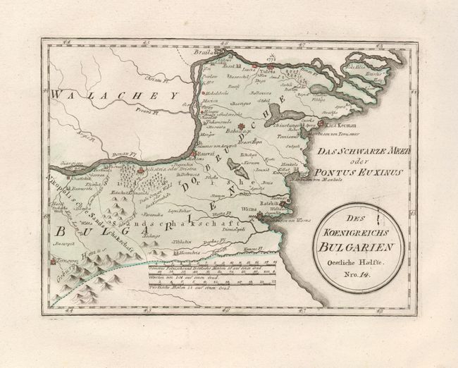
1) Des Koenigreichs Bulgarien Oestliche Haelfte. Nro. 14 shows the eastern part of the Kingdom of Bulgaria as it was in the late 18th century, (11 x 8"). The map is in fine condition. A+
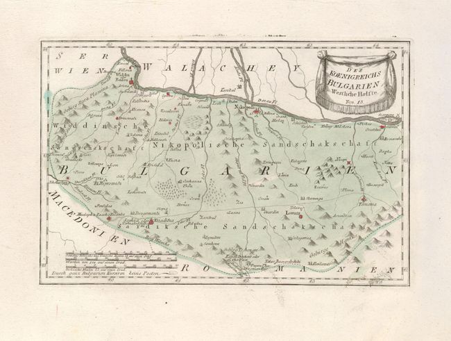
2) Des Koenigreichs Bulgarien Westliche Haelfte. Nro. 15 shows the western half the Kingdom of Bulgaria as it was in the late 18th century, (12.5 x 8.3"). The map is in fine condition. A+
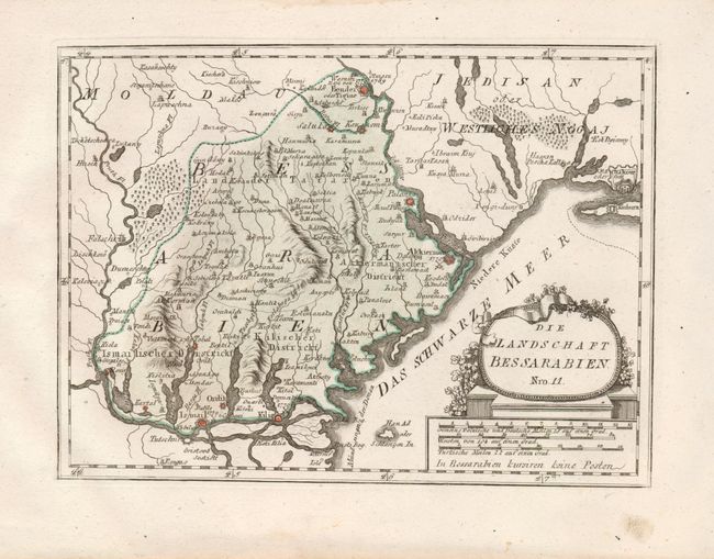
3) Die Landschaft Bessarabien. Nro. 11 is focused on Bessarabia, which later became part of Moldavia, (11.5 x 8.5"). The map has a couple minor marginal smudges, well away from the map. A
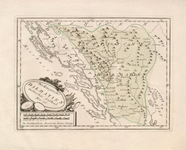
4) Des Konigreichs Dalmatien turkischer Antheil. Nro. 26 is focused on the Balkan region, showing Serbia, with parts of Bosnia and the Dalmatian coast, (11x 8.25"). The generous margins have a minor tear, well away from the map. A
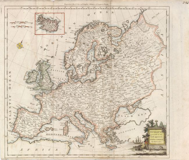
5) Europe Agreeable to the Most Approved Maps & Charts is an attractive map of Europe with Iceland shown in an inset at top, by Thomas Conder, circa 1780. The decorative cartouche shows a landscape with the accoutrements of sailing in the foreground and a fine ship in the background, (14.25 x 15"). A nice impression with original color. The bottom margin is narrow, but still sufficient for framing. Some scattered foxing and a few creases in the map. B
References:
Condition:
See descriptions.