Catalog Archive
Auction 123, Lot 412

"West Indies. Antigua: English Harbour Surveyed by Capt. E. Barnett R. N.", British Admiralty
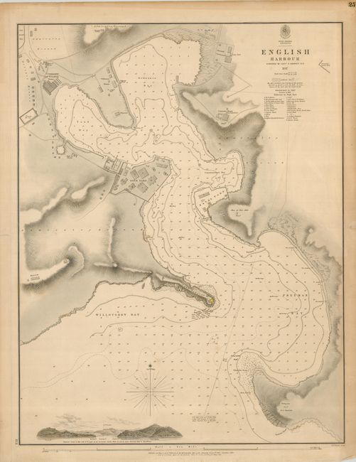
Subject: Antigua

Period: 1859 (dated)

Publication:

Color: Black & White

Size:
18.5 x 24 inches
47 x 61 cm
Download High Resolution Image
(or just click on image to launch the Zoom viewer)

Scarce chart of English Harbour, Antigua, now a popular anchorage for yachtsmen. The map shows Ordnance Bay, Tank Bay, Willoughby Bay, the Dock Yard and the Naval Yard. Berkeley Point is named here as Barclay Point, and a note at the fort describes the pattern of flags when the mail is due. Other information includes soundings, hazards, anchorages and a profile view of the harbor entrance from seaward. The map is dated 1847 and this edition has been updated to 1859.

References:

Condition: A

A nice example with some faint, irregular toning, and a small spot of candle wax. The margins have some short repaired tears, not affecting the chart.

Estimate: $500 - $650

Sold for: $350

Closed on 2/20/2008

Archived