Catalog Archive
Auction 123, Lot 381

"A New Map of the West India Isles, from the Latest Authorities", Cary, John

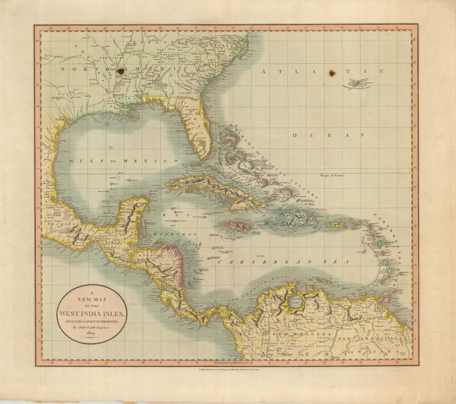
Subject: Gulf of Mexico and Caribbean

Period: 1803 (dated)

Publication:

Color: Hand Color

Size:
20 x 18 inches
50.8 x 45.7 cm
Download High Resolution Image
(or just click on image to launch the Zoom viewer)

A large and handsome map that extends from Bermuda to Florida and the Carolinas, and follows the Gulf coast to include Mexico and Central America, and south to the northernmost portion of South America and the Lesser Antilles. There is great coastal detail, especially in Central and South America. Numerous Indian tribes are named throughout. Florida is divided into east and west. A note in upper left portion of the map locates the place where LaSalle was murdered in 1687.

References:

Condition: B+

A pair of brown spots on both halves opposite from each other, else very good. Lovely original color and crisp impression, wide margins.

Estimate: $250 - $350

Sold for: $180

Closed on 2/20/2008

Archived