Subject: Montana
Period: 1914 (dated)
Publication:
Color: Printed Color
Size:
45.5 x 30 inches
115.6 x 76.2 cm
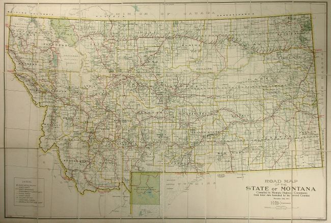
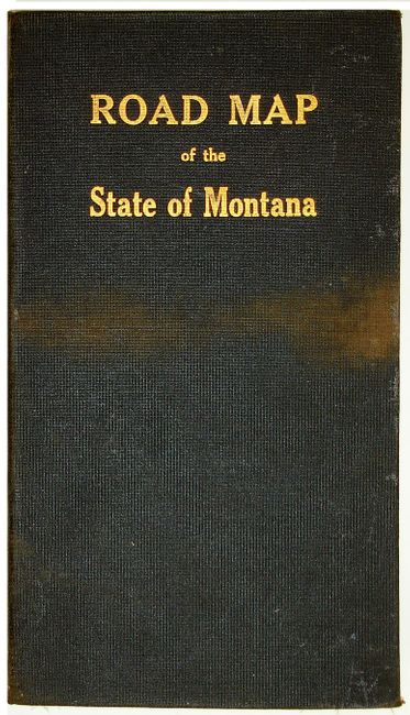
This is a spectacular map of the state with the roads, topography, watershed and county boundaries shown in an assortment of colors layered over each other, creating excellent visual depth. Other details include county seats, U.S. land offices, National Forests, military reservations and Indian lands. A portion of northern Wyoming has been included to provide the complete boundaries for Yellowstone National Park. Map is dissected, linen-backed and folds into original brown cloth covers with gilt-stamped title. Drawn by Carl O. Howe, the map was published by J.H. Hibbard and printed by the Lord Baltimore Press of Baltimore. A rare issue.
References:
Condition: A
This is a very nice example with just the barest hint of toning at a couple folds. The color and impression are fine. Covers are lightly rubbed with a little soiling across middle. Cracks at inside hinge. A beautiful example.