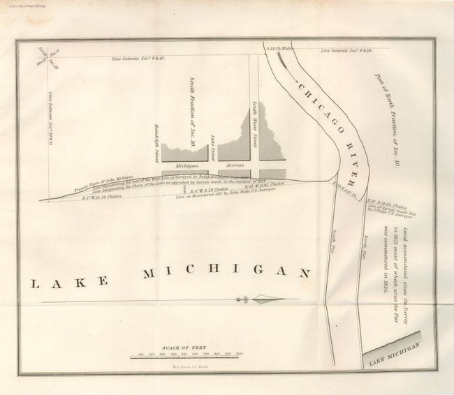
Subject: Chicago, Illinois
Period: 1841 (dated)
Publication: 26th Cong., 1st Sess.
Color: Black & White
Size:
9.8 x 8 inches
24.9 x 20.3 cm
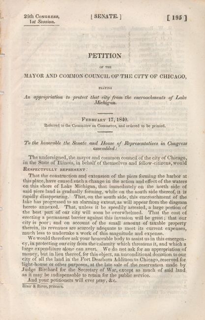
This chart shows the changing shoreline of Lake Michigan in 1821, 1838 and 1839. Map is accompanied by a four-page "Petition of the Mayor and Common Council of the City of Chicago, praying an appropriation to protect that city from the encroachments of Lake Michigan," Signed in text by W. L. Newberry. The Chicago Public Library, in their Digital Collections notes "The rapid growth of Chicago through the 1830s and the construction and extension of the piers at the Chicago River, caused the waters of Lake Michigan on the north side of the piers to recede, and the waters on the south side to encroach upon the center of the city. According to this petition…, unless a barrier was erected against the encroachments of the lake, a large part of the Fort Dearborn Addition [would] soon be known as the bottom of the lake.'" A seldom seen issue, complete with the original petition.
References: Claussen & Friis #338.
Condition: A
The map and booklet are near fine.