Subject: Atlases
Period: 1844-52 (published)
Publication:
Color: Hand Color
Size:
9.5 x 12 inches
24.1 x 30.5 cm
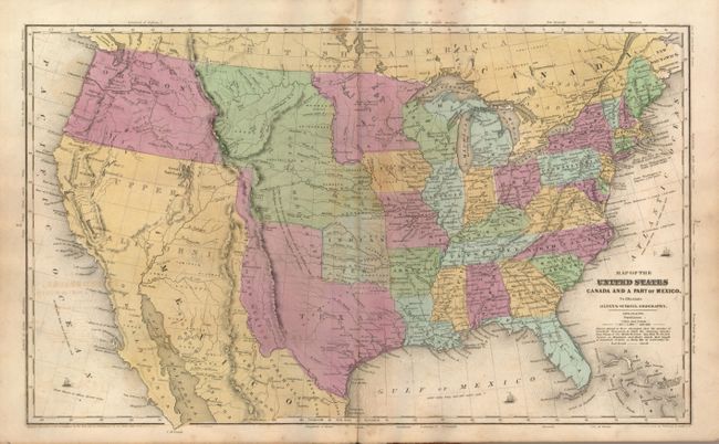
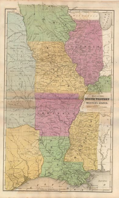
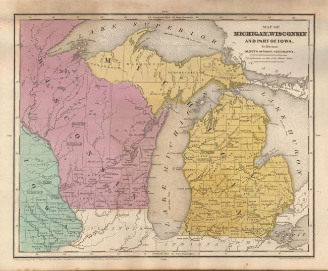
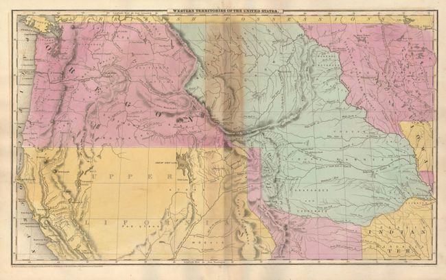
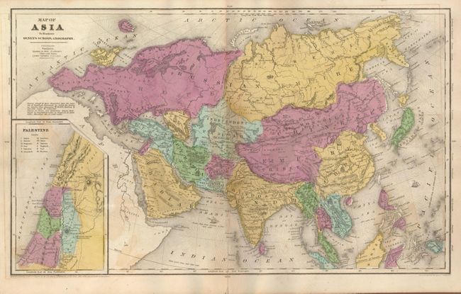
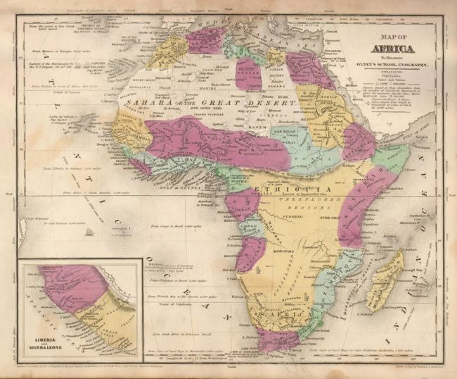
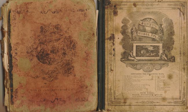
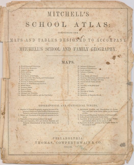
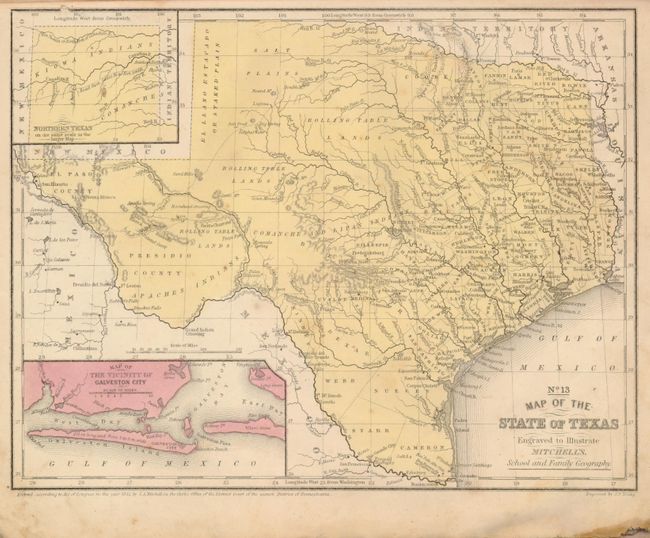
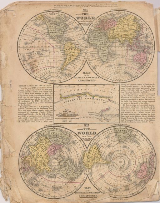
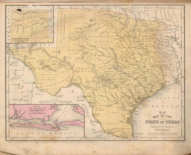
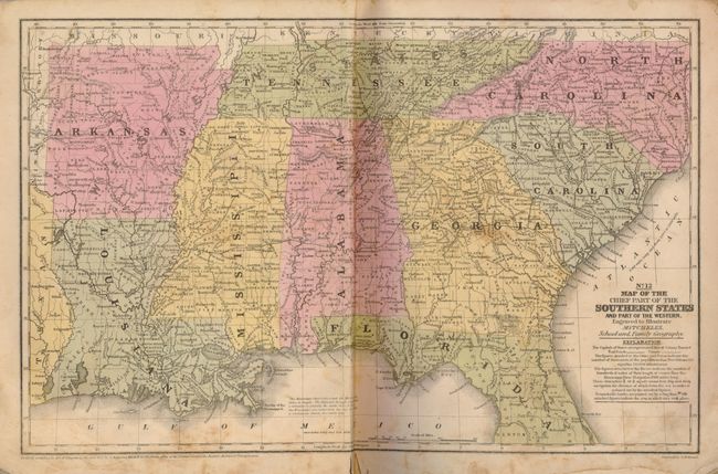
This selection consists of forty maps of the continents and the states and territories of the United States. Twenty-four are disbound from Mitchell's 1852 and 1853 school geographies, including two identical 1852 versions of his popular No. 13 Map of the State of Texas. The remaining sixteen maps are still bound in Olney's School Atlas, 1844. It contains a teriffic Map of the United States that features an independent Texas in its "stovepipe" configuration. This example shows Mexico in control of Upper California north to the 42nd parallel, with the Oregon and Nebraska Territories making up the entire northwest United States. An interesting feature of Olney's Map of Europe is a key identifying the various forms of government, states of society and religions found on the continent.
References:
Condition: C+
Most maps are foxed and have some offsetting, but the maps of Texas and the U.S. are good. The disbound maps are frayed along the edges. The covers on the Olney geography are soiled and quite worn, its spine is soft and the binding is starting to loosen. Numerous ink and pencil notations on verso of several maps.