Subject: Atlases
Period: 1833 (dated)
Publication:
Color: Hand Color
Size:
10 x 12 inches
25.4 x 30.5 cm
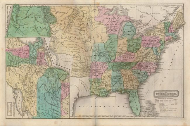
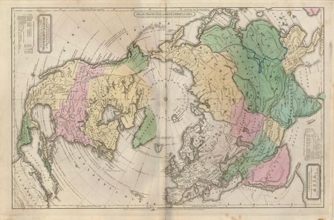
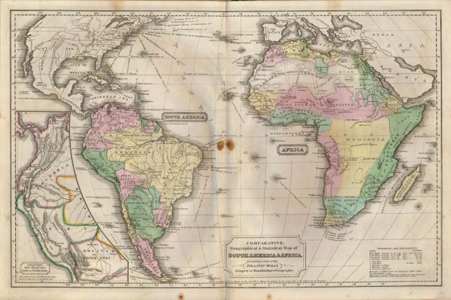
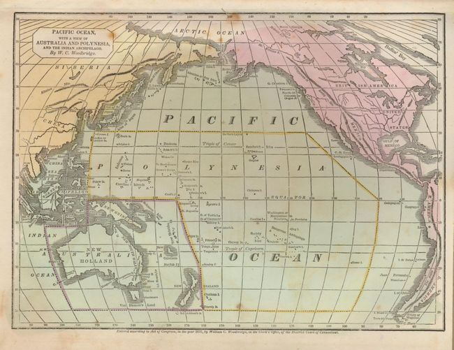
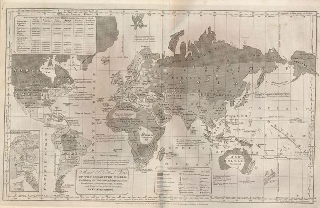
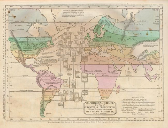
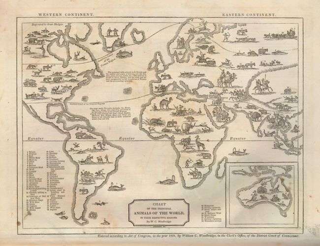
This uncommon geography contains six double-page and four single-page, hand colored maps including a very nice Geographical & Statistical Map of united States that shows both the state of Missouri, and a very large Territory of Missouri occupying much of the west. Texas is named the Spanish Province of Texas. An interesting Moral & Political Chart of the Inhabited World… uses a series of emblems to explain the state of civilization - from savage to enlightened, as well as the type of government, and the common religions. Other thematic maps include Isothermal Chart, Or, View of Climates & Productions… and Chart of Principal Animals of the World, the latter featuring numbered images of various species of wildlife and a key providing the names of the animals. William C. Woodbridge (1794-1854), a congregational minister and educational reformist, was editor of The American Annals of Education and Instruction. 4to. Complete. Hardbound in original paper covered boards and black cloth spine.
References:
Condition: B+
Contents have minor foxing and soiling. The "Moral & Political Chart of the Inhabited World" is bound upside down. Previous owner's notation in ink on first endpaper. Covers are soiled and worn along the edges. Spine and binding have minor wear, but still sound. Overall a nice example.