Subject: Atlases
Period: 1830 (circa)
Publication:
Color: Hand Color
Size:
9 x 11.5 inches
22.9 x 29.2 cm
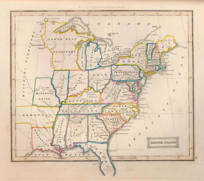
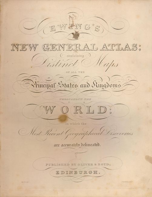
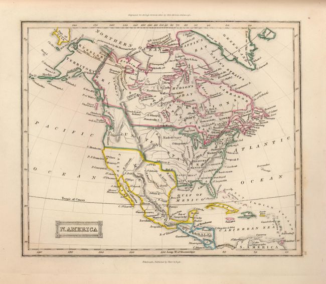
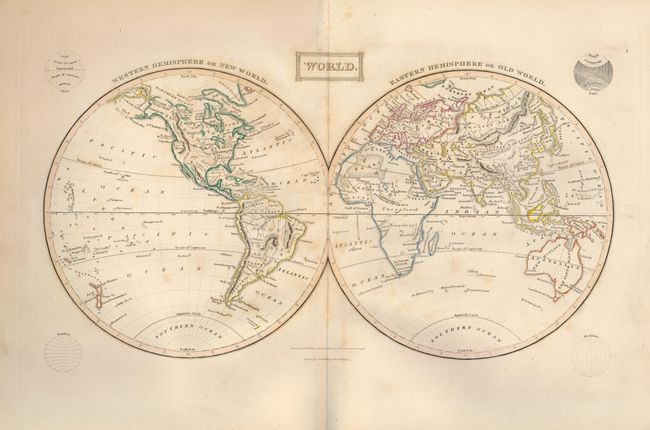
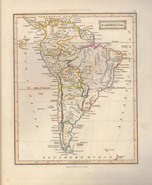
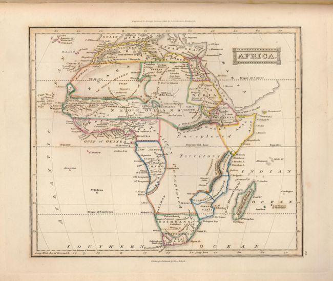
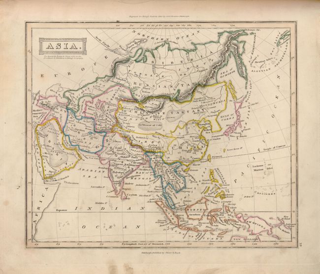
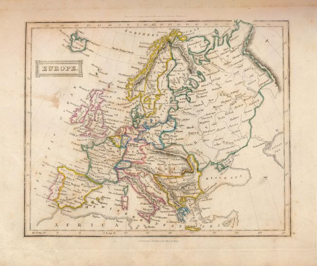
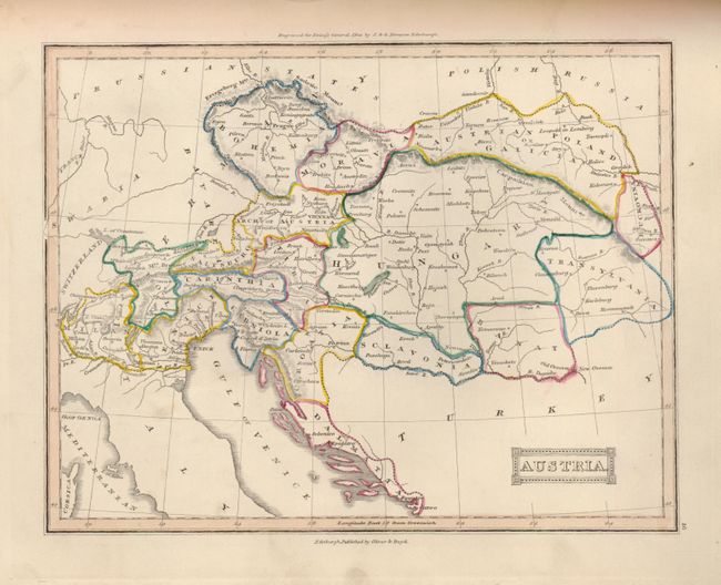
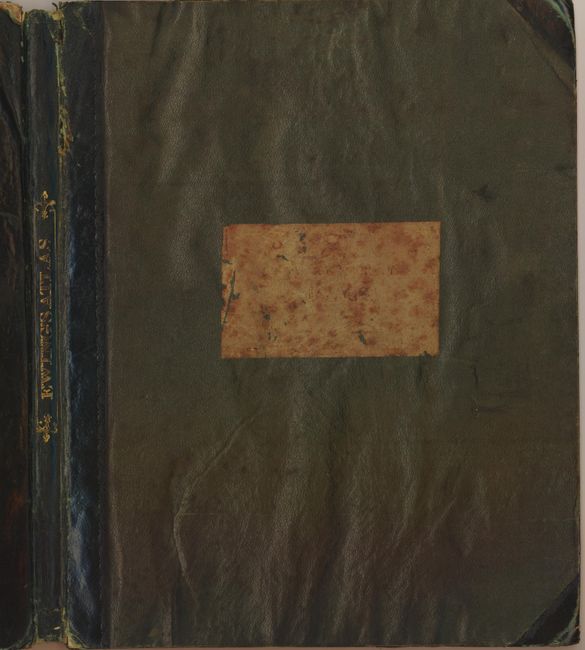
Very nice, rarely offered atlas containing 27 copper engraved maps of the world and continents. The N. America map shows Mexico still in possession of the Southwest, and shows Texas identified only as a city. The U.S. controls the northwest into British Columbia to the 54'40 boundary. The map of the United States shows the country as far west as the large Territory of Arkansas. This map has a large Indiana that has pushed Illinois westward to the current location of Iowa, well away from Lake Michigan. Each map has attractive outline color, a block style title cartouche and good detail throughout. Engraved by J. & G. Menzies, and published by Oliver & Boyd, Edinburgh. 8vo. Nicely engraved title page, Table of Contents and three pages of advertisements. Complete. Hardbound in original green cloth covered boards with black quarter leather spine and tips. Pastedown title on front and decorative gilt title on spine.
References: Philips (A) #6060
Condition: B
Maps vary from good to very good with minor foxing on some of the maps. A large brown spot has affected the preliminary pages, but does not affect the maps. Covers are worn along edges, and the cloth is separating from the boards in a couple places. Hinges are cracking, and spine has a small bit of loss at the extremities. Binding is still good.