Catalog Archive
Auction 122, Lot 806

"Carta delle Isole di Comora Johanna o Anjuan Mohilla o Moaly e Mayota", Bellin, Jacques Nicolas

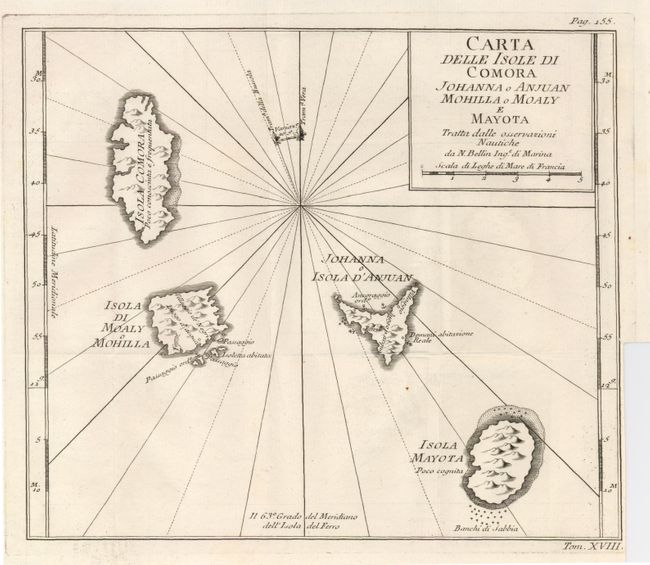
Subject: Africa - Comoros Islands

Period: 1780 (circa)

Publication:

Color: Black & White

Size:
9.7 x 8.3 inches
24.6 x 21.1 cm
Download High Resolution Image
(or just click on image to launch the Zoom viewer)

An uncommon map of the Comoros islands, located in the Madagascar Channel, between Africa and Madagascar. The chart details the islands of Grand Comore, Moheli, Anjouan and Mayotte, with notes on anchorages and the small amount of knowledge of the islands at the time.

References:

Condition: B+

A sharp impression on laid paper with folds as issued. Binding trim nearly to neatline at lower left with a tiny binding tear into neatline.

Estimate: $80 - $110

Sold for: $60

Closed on 12/5/2007

Archived