Catalog Archive
Auction 122, Lot 773
"Carte des Isles de Java, Sumatra Borneo &c. Les Detroits de la Sunde, Malaca, et Banca, Golfe de Siam &c.", Bellin, Jacques Nicolas
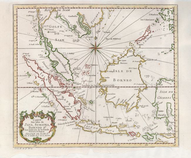
Subject: East Indies - Indonesia
Period: 1750 (circa)
Publication:
Color: Hand Color
Size:
11.5 x 10 inches
29.2 x 25.4 cm
Download High Resolution Image
(or just click on image to launch the Zoom viewer)
(or just click on image to launch the Zoom viewer)