Catalog Archive
Auction 122, Lot 476

"Lorna cum Insulis Vicinis et Provinciis Eidem Conterminis - Lorn wt the Yles and Provinces bordering there-upon", Blaeu, Johannes

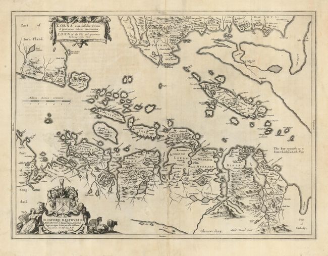
Subject: Western Scotland

Period: 1654 (circa)

Publication: Atlas Novus

Color: Black & White

Size:
20.6 x 15.5 inches
52.3 x 39.4 cm
Download High Resolution Image
(or just click on image to launch the Zoom viewer)

A crisply engraved map oriented with north to the right, shows the Firth of Lorne, along with the islands, and portions of Jura and Mull. Based on the cartography of Timothy Pont, who surveyed Scotland in the 1580s and 1590s. Pont's maps were not published until compiled by Joan Blaeu for his 1654 Atlas Novus. These maps formed the basis for the cartography of Scotland for the next one hundred years. The decorative cartouches are surrounded by sheep representing the agrarian nature of this region. Latin text on verso.

References:

Condition: B

A dark impression on a sound sheet. The centerfold has been reinforced on the verso, backing some small areas of loss. There are a few printer's creases, still a map that presents well.

Estimate: $200 - $300

Sold for: $150

Closed on 12/5/2007

Archived