Catalog Archive
Auction 122, Lot 385

"Carte de La Gonave Dressee sur les Operations Geometriques faites en 1787…Par M. de Lieude de Sepmanville", Depot de la Marine
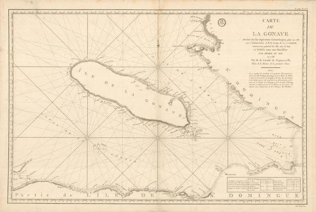
Subject: Hispaniola

Period: 1788 (dated)

Publication: Hydrographie Francoise Recueil Des Cartes Marines

Color: Black & White

Size:
35 x 23 inches
88.9 x 58.4 cm
Download High Resolution Image
(or just click on image to launch the Zoom viewer)

Large-scale map of the gulf and the island of Gonave on the southwest coast of Haiti shows the location of Port au Prince and several villages and forts. A fine sea chart with rhumb lines and an unusual fleur-de-lys in the shape of a soldier's helmet. The map depicts the coastal topography, soundings, navigational hazards, anchorages, etc. The seal of the Depot de la Marine is to the left of the title with Prix Trente Sols before the neatline in the bottom right.

References:

Condition: B+

A few small spots on a thick sheet with original margins and a large bird-like watermark. Fine impression.

Estimate: $350 - $400

Unsold

Closed on 12/5/2007

Archived