Subject: New Hampshire & Vermont
Period: 1835-1850 (circa)
Publication:
Color: Hand Color
A charming pair of maps depicting these New England states.
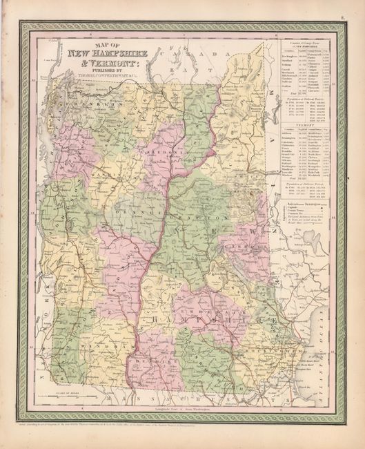
1) Map of New Hampshire & Vermont is a handsome state and county map with good detail throughout, locating numerous towns and villages, rivers and railroads. Tables name the counties and county seats with populations for both states, plus a historical list of populations from 1790-1850. Distances are given along major wagon roads. Published by Thomas Cowperthwait & Co. for Mitchell's New Universal Atlas, copyright dated 1850 (12.3 x 15").
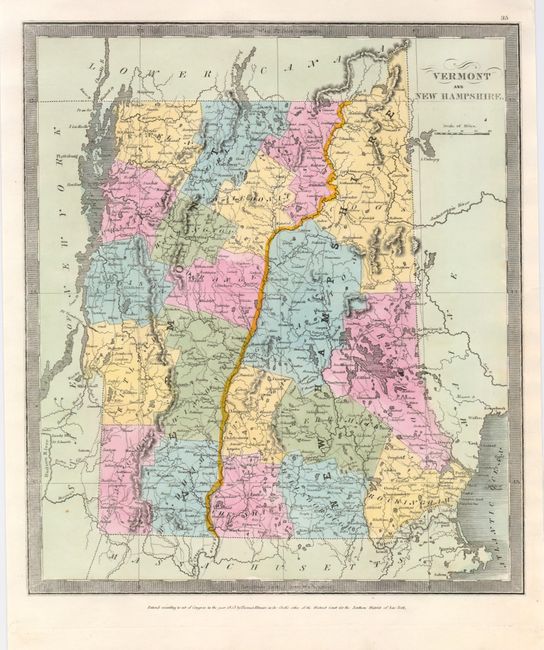
2) Vermont and New Hampshire shows the counties, roads, and towns with good indications of topography. Published by Thomas Illman in 1835 (10.56 x 12")
References:
Condition: A
Map 1 with original hand coloring on sheet with minor marginal soil and a short tear, not affecting the map. Map 2 is clean with later color. Tissue hinge remnant on the verso.