Catalog Archive
Auction 122, Lot 268

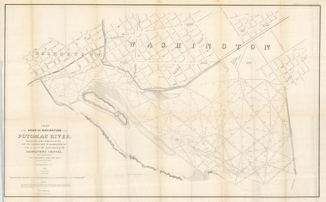
"Chart of the Head of Navigation of the Potomac River. Surveyed by the Order of the Sec. Of War for the Corporation of Georgetown D.C. with a View to the Improvement of the Georgetown Channel…", U.S. War Department

Subject: District of Columbia

Period: 1857 (dated)

Publication: Sen. Ex. Doc. No. 34, 35th Cong., 1st Sess.

Color: Black & White

Size:
40 x 24.6 inches
101.6 x 62.5 cm
Download High Resolution Image
(or just click on image to launch the Zoom viewer)

This uncommon map shows parts of Georgetown and Washington, D.C. along the Potomac. Including part of the Chesapeake and Ohio Canal as well as Rock Creek and the Basin. Names the major streets and shows the location of the Washington Monument. Within the Potomac River are many hundreds of soundings plus notes on the bottom material. Place names mentioned include the road to Alexandria, the Alexandria Canal, Mason's Island, Timber Creek, and more. Made under the direction of Capt. L. C. Woodruff by R.W. Burgesss of the Topographical Engineers. Engraved by Denis Callahan and printed by the esteemed firm of Julius Bien. A rarely seen issue that should not be confused with the smaller reprint issued in 1891.

References:

Condition: A

A near fine example with only a few spots and some tiny fold intersection splits. Folding, as issued.

Estimate: $300 - $500

Sold for: $150

Closed on 12/5/2007

Archived