Subject: Montana, Minnesota and the Dakotas
Period: 1850's (circa)
Publication: Survey for Routes for a Pacific Railroad Reports
Color: Hand Color
Size:
9 x 5.8 inches
22.9 x 14.7 cm
During the 1850s, the U.S. government sponsored an extensive series of expeditions designed to gather information on the vast new territories that had been acquired in western North America. The discovery of gold in California further stimulated westward traffic and heightened the need for a faster and more convenient way to bring the far-flung parts of the country together. In 1853 Congress commissioned the Army's Topographic Bureau to conduct a series of surveys to find a suitable route for a transcontinental railroad. There were six major expeditions; five of them covered the area between the Great Plains and west coast, and the sixth explored the coastal states of California and Oregon. All of these expeditions were accompanied by naturalists and artists to document the landscape, flora and fauna along the route.
The reports, maps and lithographs were published in the 13 volume report "Explorations and Surveys to ascertain the most practicable and economical route for a Railroad from the Mississippi river to the Pacific Ocean."
Eight tinted lithographed views cover Minnesota, Dakota and Montana. This is from the northern survey, commanded by Isaac Stevens, governor of Washington Territory. This surveys covered between the 47th and 49th parallels, with illustrations by John Mix Stanley and Gustavo's Soon.
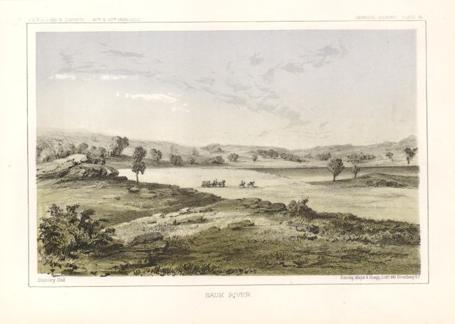
1) Sauk River displays a peaceful panorama of this Minnesota valley.
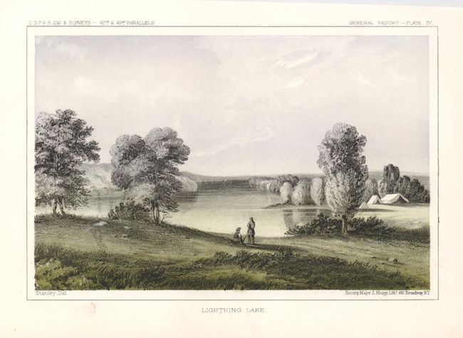
2) Lightning Lake in Minnesota, with an encampment shown.
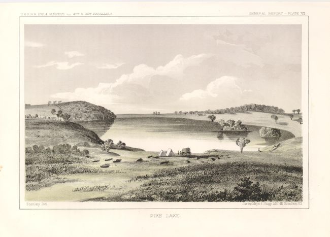
3) A lovely view of the shore of Pike Lake in Minnesota, showing wagons and tents.
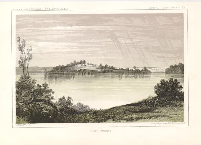
4) A view of Lake Jessie in North Dakota.
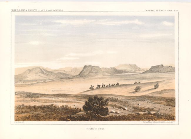
5) Bear's Paw, Montana, showing a group of Native Americans traveling across the landscape.
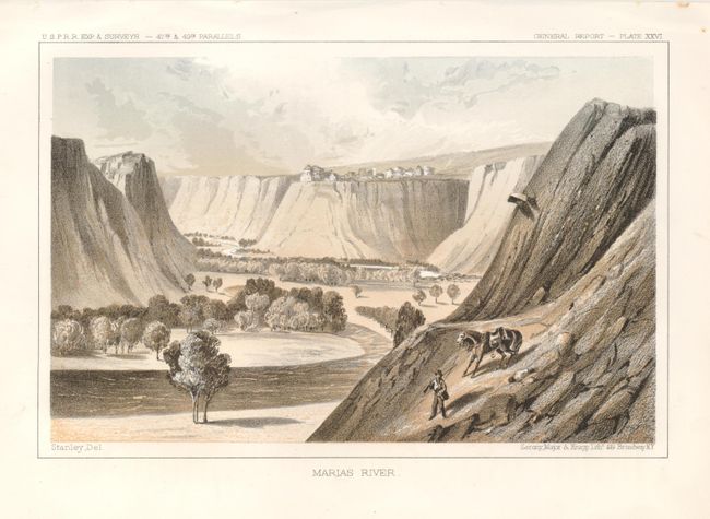
6) A view of the bluffs along the Marias River in Montana.
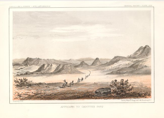
7) The Approach to Cadotte's Pass, in Montana.
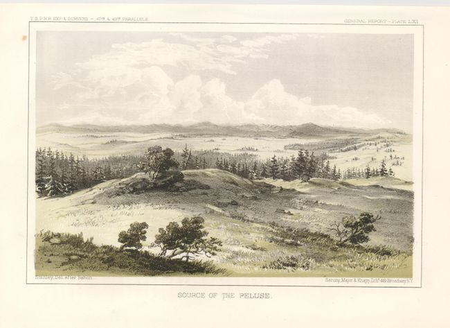
8) Source of the Peluse describes the Palouse River, which runs from Idaho to Washington state.
References:
Condition: B+
Crisp images on strong paper with full, original margins. Each plate has a small pinhole in the title at bottom, and there are a couple of minor marginal spots, not affecting the images.