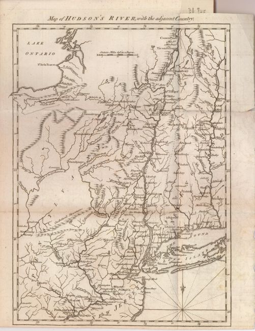
Subject: Colonial New England
Period: 1778 (published)
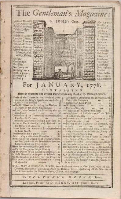
Publication: Gentleman's Magazine
Color: Black & White
Size:
8.4 x 11.6 inches
21.3 x 29.5 cm
Revolutionary War map from this British periodical was designed to familiarize the magazine's readers with the location of the hostilities in what they termed the American War. This map was meant to illustrate the region of the Hudson and Delaware Rivers and the marches of the armies under the Generals Howe, Clinton and Burgoyne. It covers New York and New England as far east as the Connecticut River, south to include Philadelphia, and north to encompass Crown Point and Ticonderoga. Still bound into the original edition of The Gentleman's Magazine, January, 1778, with related articles.
References: Jolly GENT-257.
Condition: A
A dark impression on a sheet with a trace of offsetting. The right margin has a short tear, not affecting the map.