Subject: Holy Land
Period: 1760-67 (circa)
Publication:
Color: Hand Color
These two maps of the Holy Land display rococo borders that were printed from separate copper plates for the deluxe atlas editions. This was a uniquely French decorative devise used in the mid eighteenth century.
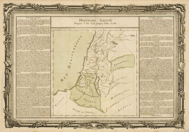
1) Histoire Sainte Depuis l'An 3153 jusqu'a l'An 3238, from Buy de Mornas' Atlas Methodique et Elementaire de Goegraphie et l'Histoire, published in Paris, circa 1760. This interesting map illustrates the Holy Land during this period of ancient history. French text panels on either side of the map describe historical event in Judae and Israel. (20.5 x 14")
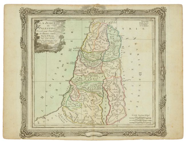
2) La Judee ou Palestine…, by Brion de la Tour from Desnos' Atlas General, civil, ecclesiastique et militaire published in Paris, circa 1767. This map shows the entire Palestine on both sides of the Jordan and the Mediterranean coast from Sidon to Gaza. It is colored to illustrate the tribal divisions and important historical towns are noted. (12.3 x 10.8")
References: Map 2 - Laor #131.
Condition: B+
Map 1 - Some minor marginal stains. Map 2 - Light irregular toning.