Catalog Archive
Auction 121, Lot 712

"Chorographia Terrae Sanctae in Angustiorem Formam Redacta, et ex Variis Auctoribus a Multis Erroribus Expurgata", Tirinus, Jacobus
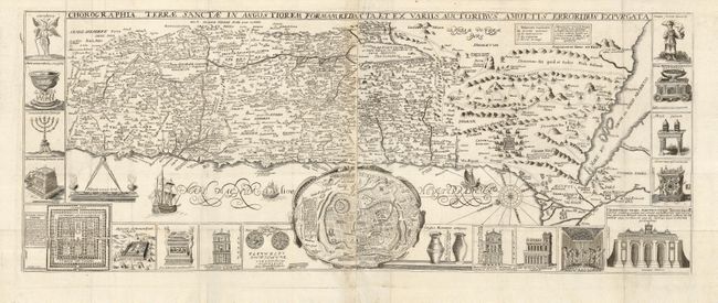
Subject: Holy Land

Period: 1632 (circa)

Publication:

Color: Black & White

Size:
31.5 x 12.3 inches
80 x 31.2 cm
Download High Resolution Image
(or just click on image to launch the Zoom viewer)

Visually stunning map of the Holy Land surrounded with panels of vignettes displaying sacred objects including a menorah, the arc of the covenant, the altar of sacrifices, the Tabernacle, and a plan and elevations of the Temple. At center is an inset bird's-eye plan of ancient Jerusalem based on the Spanish biblical geographer, Juan Bautista Vilalpando. Oriented with east at top, the map includes the territories of the twelve tribes on both sides of the Jordan River and the route of the Exodus and Wandering. Two sheets joined as issued.

References: Laor #771.

Condition: B+

Lightly toned on paper join and folds. Paper repair at right edge, well away from image.

Estimate: $900 - $1,000

Sold for: $1,000

Closed on 9/26/2007

Archived