Catalog Archive
Auction 121, Lot 628

"Austriae Archiducatus Pars Inferior in Omnes Ejusdem Quadrantes Ditiones Accuratissime et Distincte Delineata", Visscher, Nicolas
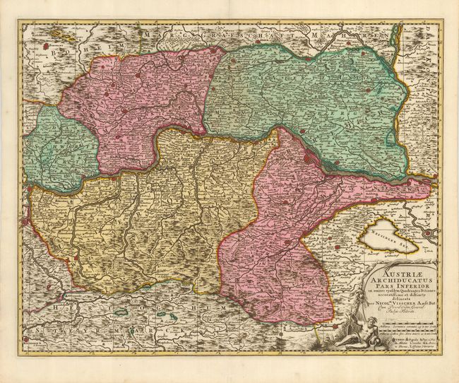
Subject: Austria

Period: 1705 (circa)

Publication: Atlas Minor sive Geographia Compendiosa

Color: Hand Color

Size:
22.8 x 18 inches
57.9 x 45.7 cm
Download High Resolution Image
(or just click on image to launch the Zoom viewer)

This first edition is richly colored and boldly engraved as it details Lower Austria, along the course of the Danube River, and features numerous place names, towns, cities, villages, churches and topography. Wien (Vienna), Baden and many other fortified cities are located in this very striking example. The map extends south to show Pinkhenfeldt, north to include Borowany, Znaym, and Nicolspurg, east to Altenburg, Wolfstaal and Presburg, and in the west is Ens. The large cartouche includes an with figure, two distance scales and legend.

References:

Condition: A+

A beautiful example featuring early impression with some layout lines still visible. Lovely coloring, full margins, thick paper. Some faint spots in margins, still fine.

Estimate: $250 - $350

Sold for: $190

Closed on 9/26/2007

Archived