Catalog Archive
Auction 121, Lot 481

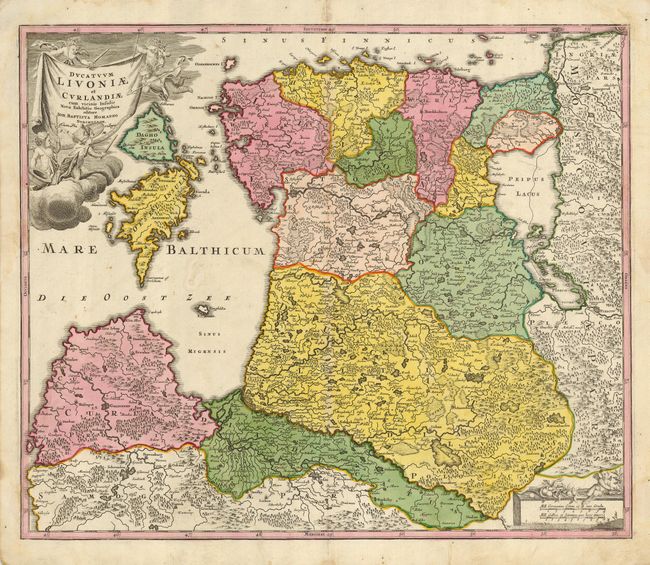
"Ducatuum Livoniae et Curlandiae cum vicinis Insulis Nova Exhibitio Geographica", Homann, Johann Baptist

Subject: Baltic

Period: 1720 (circa)

Publication: Grosser Atlas

Color: Hand Color

Size:
22.5 x 19 inches
57.2 x 48.3 cm
Download High Resolution Image
(or just click on image to launch the Zoom viewer)

This attractive map of Estonia and Latvia shows the fortified towns of Goldingen and Derpt and is filled with hundreds of tiny villages, forests, marshes, mountains and rivers. The islands of Saaramaa and Hiiumaa (Dagho, Oesel) are prominent in the Gulf of Riga. The sheet is decorated with a drape-style title cartouche held aloft by weapon-wielding putti and a scale cartouche in the opposite corner.

References:

Condition: B+

A strong sheet with original coloring. Marginal damp staining that just touches the map with a couple of faint stains in the map.

Estimate: $300 - $400

Sold for: $450

Closed on 9/26/2007

Archived