Catalog Archive
Auction 121, Lot 368
"Kaart van de Antilles of Eil. Boven den Wind met het Oostelyk gedeelte der Eil. Beneden den Wind", Bachiene, Willem Albert
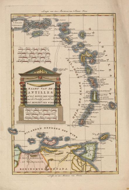
Subject: Lesser Antilles
Period: 1785 (circa)
Publication: Atlas tot Opheldering der Hedendaagsche Historie…
Color: Hand Color
Size:
8.2 x 12.2 inches
20.8 x 31 cm
Download High Resolution Image
(or just click on image to launch the Zoom viewer)
(or just click on image to launch the Zoom viewer)