Catalog Archive
Auction 121, Lot 354

"Map of the Route of Columbus, on arriving among the Bahama Islands", Johnson, D.G.
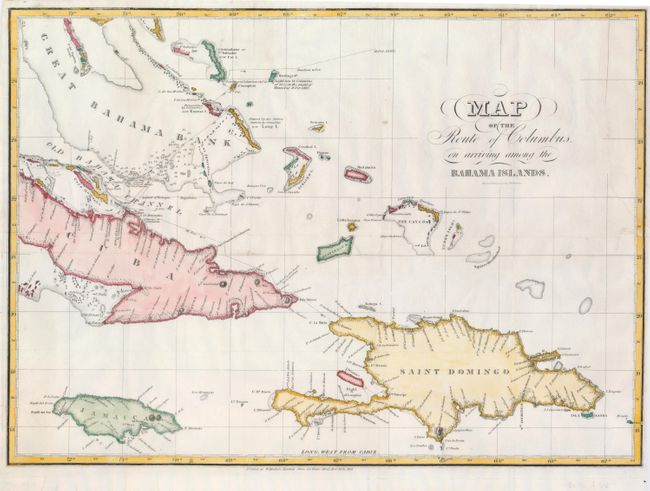
Subject: Bahamas

Period: 1828 (dated)

Publication:

Color: Hand Color

Size:
19.5 x 14 inches
49.5 x 35.6 cm
Download High Resolution Image
(or just click on image to launch the Zoom viewer)

This interesting map shows Columbus' route in extensive detail, and includes several notations regarding sightings, landings and who named certain islands. There are numerous place names, soundings and topographical features, although the interiors of the islands are largely blank. Printed at W. Hooker's Nautical Store , 202 Water Street , New York.

References:

Condition: B+

A crisp example professionally backed with fine tissue, with a nearly invisibly repaired 1" tear at lower right and another along fold at center.

Estimate: $200 - $250

Sold for: $130

Closed on 9/26/2007

Archived