Catalog Archive
Auction 121, Lot 351
"Carte Reduite des Isles Antilles [on sheet with] Carte Reduite des Debouquements de St. Domingue", Verdun de la Crenne
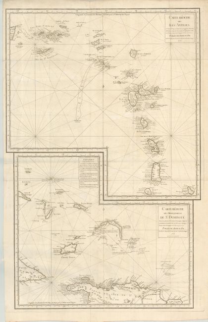
Subject: Lesser Antilles
Period: 1775 (dated)
Publication:
Color: Black & White
Size:
20.5 x 34 inches
52.1 x 86.4 cm
Download High Resolution Image
(or just click on image to launch the Zoom viewer)
(or just click on image to launch the Zoom viewer)