Catalog Archive
Auction 121, Lot 347
"A Map of East and West Florida, Georgia and Louisiana, with the Islands of Cuba, Bahama, and the Countries Surrounding the Gulf of Mexico, with the Tract of the Spanish Galleons, and of our Fleets thro' the Straits of Florida, from the Best Authorities", Lodge, John
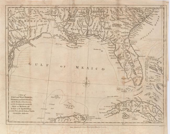
Subject: Gulf of Mexico and Caribbean
Period: 1781 (dated)
Publication: Political Magazine
Color: Black & White
Size:
14 x 10.5 inches
35.6 x 26.7 cm
Download High Resolution Image
(or just click on image to launch the Zoom viewer)
(or just click on image to launch the Zoom viewer)