Subject: Arizona
Period: 1901 (dated)
Publication:
Color: Printed Color
Size:
5.7 x 9 inches
14.5 x 22.9 cm
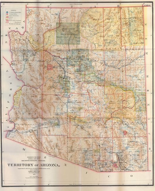
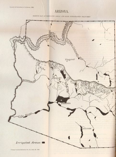
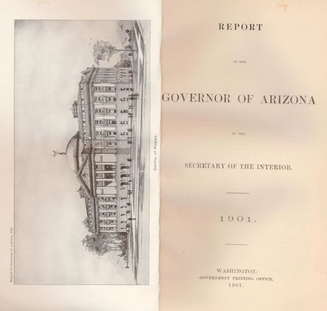
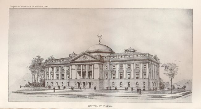
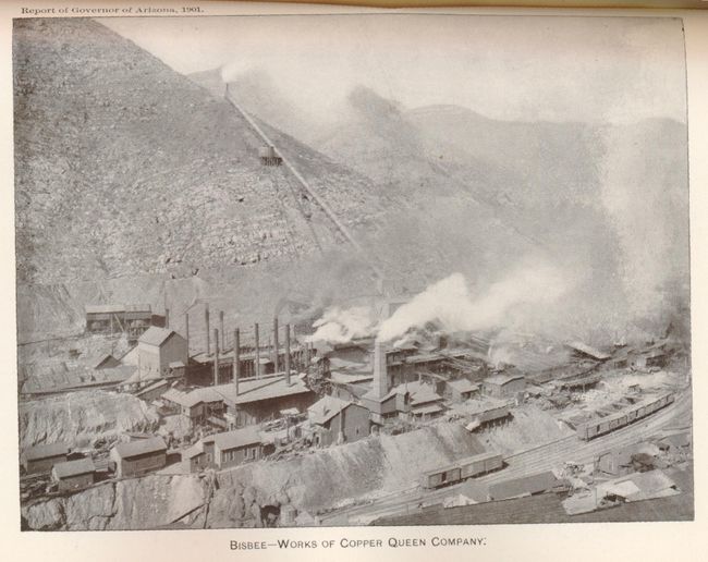
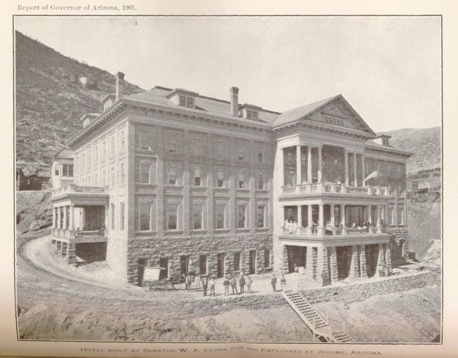
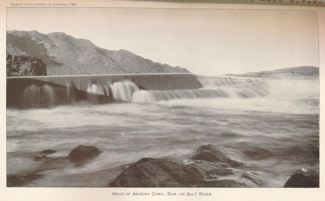
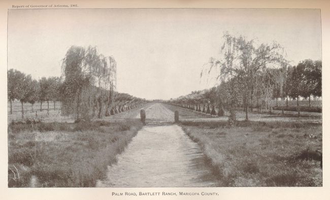
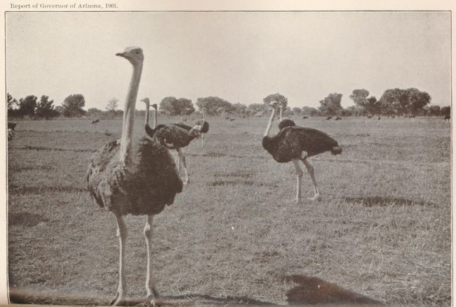
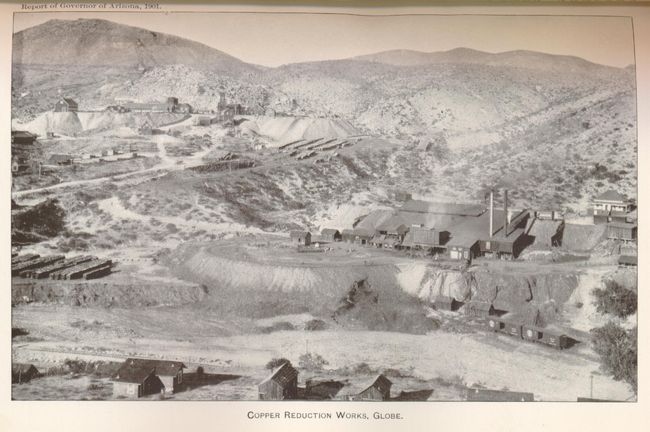
This report contains two foldout maps and is illustrated with more than twenty black and white photographs. The first map, Arizona (8 x 11"), is a "Sketch Map of Irrigated Areas and Main Topographic Features". The second, by the General Land Office is the Territory of Arizona (16.8 x 20"), a colorful example with great detail of railroads, cities, roads, extent of surveying, etc., eleven years before statehood. A legend at upper left provides a key to color coding for topography, Indian Reservations, Military Reservations, and Forest Reserves. Several private land claims, confirmed and unconfirmed, are also shown through color coding. Much of the territory remains to be surveyed and townships subdivided. Original brown wrappers with printed title on front. 144 pp. Complete. 8vo.
References:
Condition: A
Both maps are near fine with only a tiny binding tear on each. Covers a bit worn with a couple splits along the front hinge. Binding is tight.