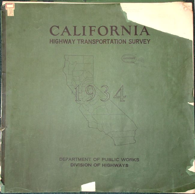
Subject: Atlases, California
Period: 1934 (dated)
Publication: Department of Public Works Division of Highways
Color: Printed Color
Size:
25 x 24.5 inches
63.5 x 62.2 cm
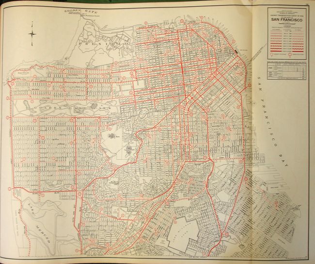
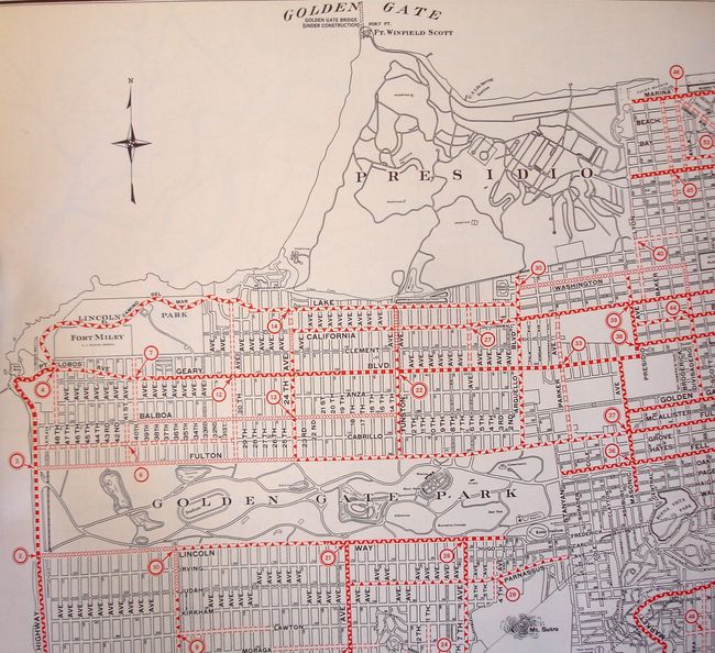
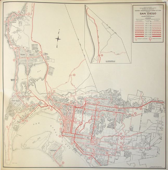
This atlas contains traffic flow maps of the 57 counties of California, the City and County of San Francisco, the cities of Los Angeles and San Diego, and the metropolitan area of Oakland, Alameda and Berkeley. Interestingly, Map #38 San Francisco shows both the Golden Gate Bridge, and the San Francisco Bay Bridge under construction. In 1934 the State Highway Code was realigned to allow the highway department to build state highways in cities, and reapportioned gas tax revenues to allow building of urban highways. Large Folio. Complete. Softbound in original green paper wrappers with a Library of Congress withdrawal stamp on front.
References:
Condition: A
Front and back covers are separated, chipped and have some large tears with loss. Maps with only a couple having small fold separations, and light toning along folds. Contents are very clean and bright. An excellent copy of an unusual atlas.