Catalog Archive
Auction 120, Lot 614

"La Pologne Divisee en Royaume de Pologne et les Etats y Apartenans la Pologne Prussienne Autrichienne & Russienne", Elwe, Jan Barend

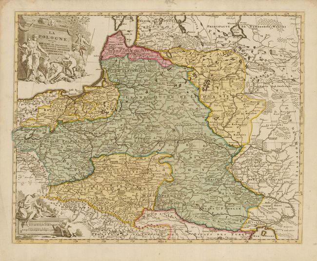
Subject: Eastern Europe

Period: 1792 (circa)

Publication:

Color: Hand Color

Size:
23.8 x 17.5 inches
60.5 x 44.5 cm
Download High Resolution Image
(or just click on image to launch the Zoom viewer)

A large, uncommon map of Poland, Lithuania, Belarus and part of Ukraine. This map illustrates the Partitions of Poland when the entire territory of the Kingdom of Poland was divided between Prussia, Austria and Russia. The map is filled with detail and decorated with a title and scale cartouche flanked by mythological figures and putti.

References:

Condition: B+

Nice old color on a sound sheet. There is a faint mildew stain in the top margin, just entering the map. The left margin has a small hole, not affecting the map.

Estimate: $400 - $600

Sold for: $550

Closed on 7/18/2007

Archived