Catalog Archive
Auction 120, Lot 608
"Landtafel des Ungerlands, Polands, Reussen, Littaw, Walachen und Bulgaren", Munster/Petri
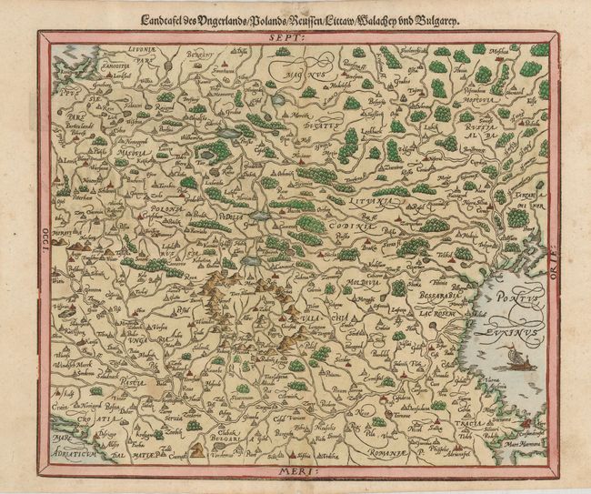
Subject: Eastern Europe
Period: 1598 (published)
Publication: Cosmographia
Color: Hand Color
Size:
14 x 12 inches
35.6 x 30.5 cm
Download High Resolution Image
(or just click on image to launch the Zoom viewer)
(or just click on image to launch the Zoom viewer)