Catalog Archive
Auction 120, Lot 562

"Vindeliciae et Norici Conterminarumque terrarum antiqua descriptio", Cluver, Philipp

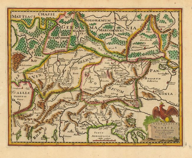
Subject: Central Europe

Period: 1729 (circa)

Publication:

Color: Hand Color

Size:
10 x 9.5 inches
25.4 x 24.1 cm
Download High Resolution Image
(or just click on image to launch the Zoom viewer)

This historical map shows an important region of the old Roman Empire, covering parts of Germany, Austria, Switzerland, Hungary and Italy. It centers roughly on the Danube River, with good detail of its tributaries. The title cartouche is surmounted by a royal eagle.

References:

Condition: A

Nice impression on a sturdy sheet. There are a couple of spots of foxing in the margins, not affecting the map.

Estimate: $110 - $140

Unsold

Closed on 7/18/2007

Archived