Catalog Archive
Auction 120, Lot 539

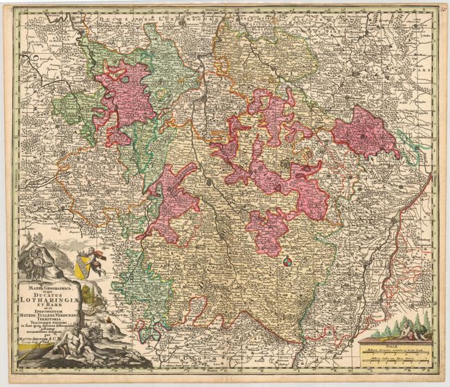
"Mappa Geographica, in qua Ducatus Lotharingiae et Barr ut et Episcopatuum Metens. Tullens. Verdunens Territoria…", Seutter, Matthias

Subject: France

Period: 1730 (circa)

Publication: Atlas Novus

Color: Hand Color

Size:
22.6 x 19.5 inches
57.4 x 49.5 cm
Download High Resolution Image
(or just click on image to launch the Zoom viewer)

A very decorative map of the Lorraine region in France. It has wonderful detail of the towns, cities and topography and is adorned with a cartouche showing people bringing cheese out of a cave, as well as hunting and making wine. The scale cartouche is topped with a cherub busily making maps.

References:

Condition: B

Nice impression on sturdy paper with a narrow top margin as issued. The map has a couple of light stains at the top.

Estimate: $160 - $240

Sold for: $120

Closed on 7/18/2007

Archived