Subject: Netherlands
Period: 1660 (circa)
Publication:
Color: Hand Color
Size:
8.5 x 6 inches
21.6 x 15.2 cm
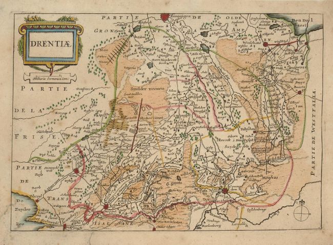
Delicately engraved map of the province of Drente from Colom's only land atlas, with Meppel in the south and Groningen in the north. Jacob Aertsz Colom started the Colom publishing company. He founded the Navigation School in Amsterdam, and published a number of fine sea charts, coasting pilots and this small atlas of Belgium and The Netherlands.
References:
Condition: B
Nice impression and attractive color. The margins have been trimmed, but are still adequate for framing. The map has some foxing and a few spots of mildew and a couple of old paper repairs in margins.