Subject: South America
Period: 1760-1870 (circa)
Publication:
Color:
Interesting group of maps detailing South America from the 18th to 19th centuries.
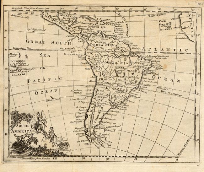
1) South America, London, c. 1760 T. Phinn. Pictorial cartouche with men and ships. Black and white engraving (8.7 x 7").
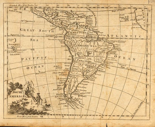
2) South America, London, c. 1760. Similar example of previous map of South America, without name. Black and white engraving (9 x 7").
3) South America, London, c. 1760. Similar example of previous map, Thomas Jefferys. Black and white engraving (9 x 7").
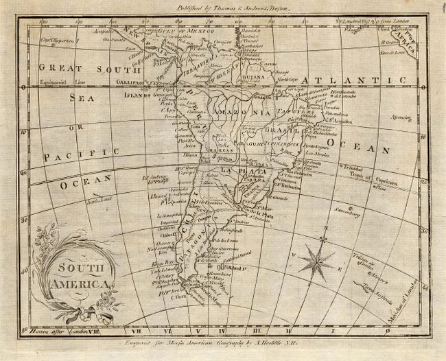
4) South America, published by Thomas & Andrews, Boston. Engraved for Morses American Geography by A. Doolittle N. H. circa 1793. Black and white engraving (8 x 6.3").
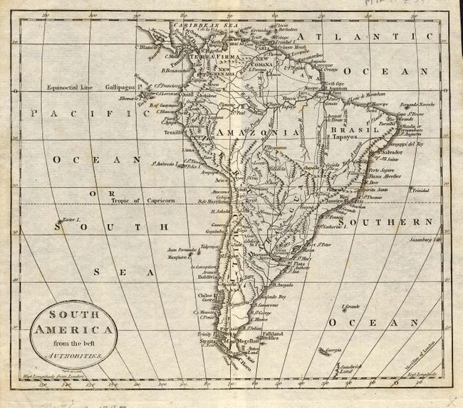
5) South America from the best Authorities, Russell, circa 1795. Black and white engraving (8.5 x 7.3").
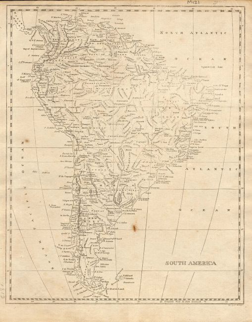
6) South America, circa 1812. Black and white engraving (8 x 9.8").
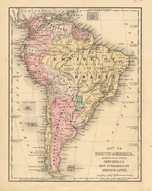
7) Map of South America, Engraved to Illustrate Mitchell's New Intermediate Geography. Circa 1870, hand colored ( 8 x 10.5")
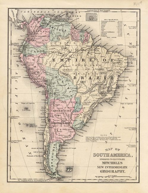
8) Map of South America, Engraved to Illustrate Mitchell's New Intermediate Geography. Circa 1870, hand colored (8 x 10.5")
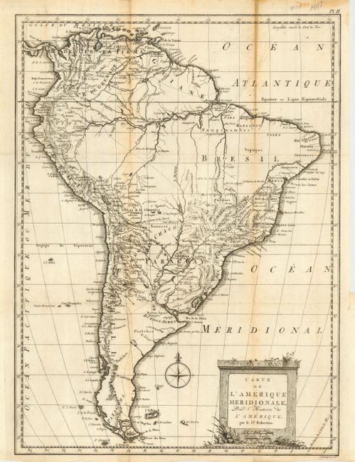
9) Carte de L'Amerique Meridionale, Pour l'Histoire de L'Amerique par le Dr. Robertson dated 1778. Black and white engraving (12.5 x 17").
References:
Condition: A
Most maps very good. Map 6 with some stains, Map 9 with some fold toning.