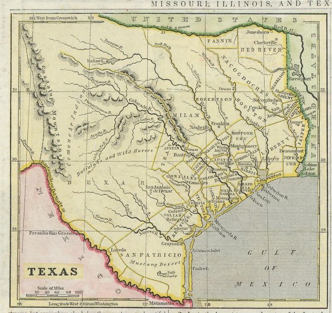
Subject: Texas
Period: 1840 (circa)
Publication:
Color: Hand Color
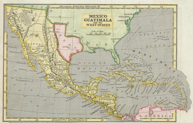
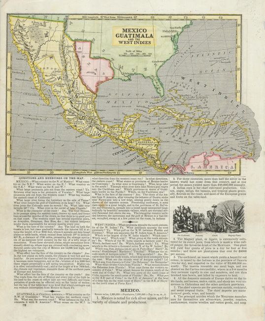
This cerographic map (5.5 x 5") of Independent Texas is from a school geography. It covers the republic as far west as the Guadalupe Mountains and north to the Red River. It depicts early counties and settlements in East Texas with West Texas being the range of Comanche Indians, Buffaloes and Wild Horses. On verso is another great map (8.5 x 5.5") titled, Mexico Guatimala and the West Indies that shows the Republic of Texas with its northern boundary on the Arkansas River. California and the western states are controlled by Mexico. The Great Salt Lake is named L. Youia or Bonneville (salt). Both maps are surrounded by text.
References:
Condition: A
There are some light spots and a couple of tape stains in text, not affecting maps.